


What's Happening?
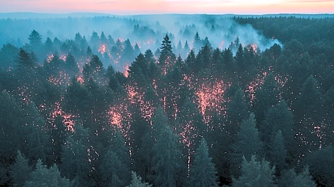
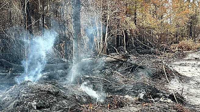
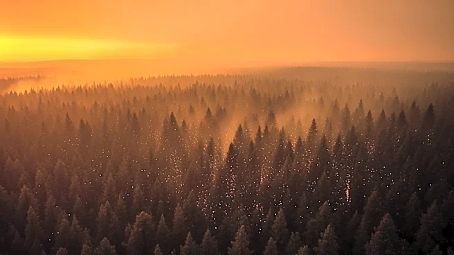
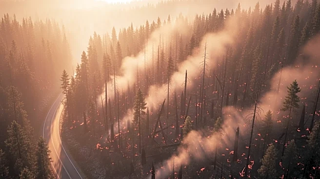
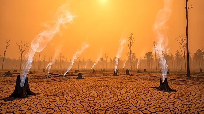
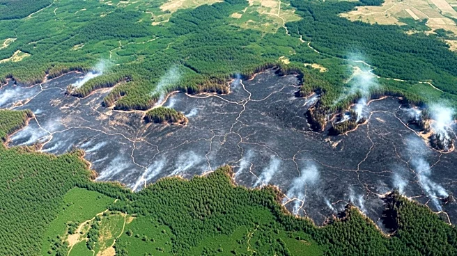
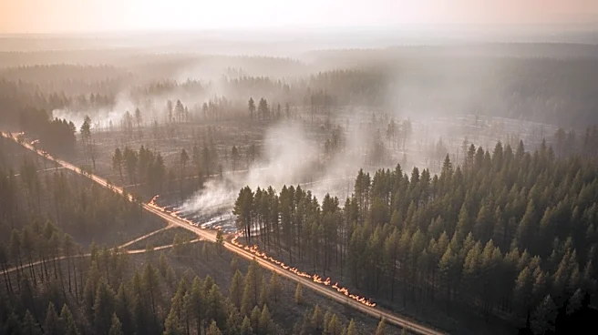
Satellite imagery has revealed the extensive damage caused by two major wildfires in southern Georgia, which have burned over 50,000 acres. The Pineland Road Fire and the Highway 82 Fire have devastated forests, residential areas, and rural communities
in Brantley and Clinch counties. The fires, fueled by extreme drought and storm debris, have resulted in significant property loss and ongoing firefighting efforts.
Why It's Important?
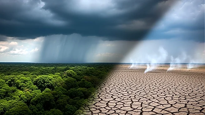
The wildfires in Georgia highlight the increasing frequency and intensity of such events, exacerbated by climate change and human activities. The destruction of over 120 homes marks a historic loss for the state, emphasizing the need for improved fire management and prevention strategies. The situation also underscores the importance of addressing climate change and its impact on natural disasters, as well as the need for community preparedness and resilience.
What's Next?
Firefighting efforts will continue as crews work to contain the blazes and prevent further damage. Authorities may implement stricter regulations on activities that could spark fires, and there may be increased investment in fire prevention and response infrastructure. The state will likely focus on recovery and rebuilding efforts, with support from federal and local agencies to assist affected communities.