
What's Happening?
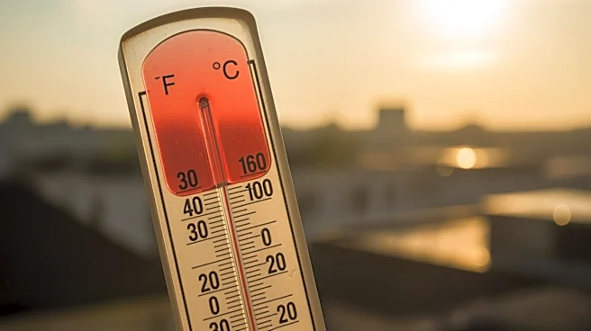
The tri-state area is experiencing a significant heat wave, with temperatures reaching the mid-90s. Newark recorded a high of 97 degrees on Tuesday, marking the first heat wave of the year. A heat advisory
remains in effect as temperatures are expected to stay high on Wednesday. However, severe storms are anticipated to arrive in the afternoon, bringing cooler weather and rain into the Memorial Day weekend. The storms may include damaging winds and hail, but tornadoes are not expected. The cooler air will persist through the weekend, with temperatures dropping to the 50s and 60s.
Why It's Important?
The heat wave poses health risks, particularly for vulnerable populations such as the elderly and those with pre-existing health conditions. The advisory urges residents to stay hydrated and limit outdoor activities. The upcoming storms could alleviate the heat but also bring potential hazards like strong winds and hail. The shift to cooler temperatures and rain over the weekend may impact outdoor plans and local events, affecting businesses and tourism in the area.
What's Next?
Following the storms, the region will experience cooler temperatures and rain through the Memorial Day weekend. Residents are advised to prepare for potential disruptions due to severe weather conditions. The tri-state area will begin to warm up again after the holiday weekend, with temperatures expected to rise gradually.