





What's Happening?
El Niño, a climate pattern characterized by warmer than average ocean temperatures in the Pacific, is expected to persist through early 2027. This development is anticipated to significantly impact the 2026 hurricane season and South Florida's weather.
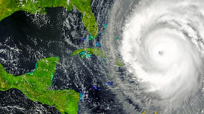
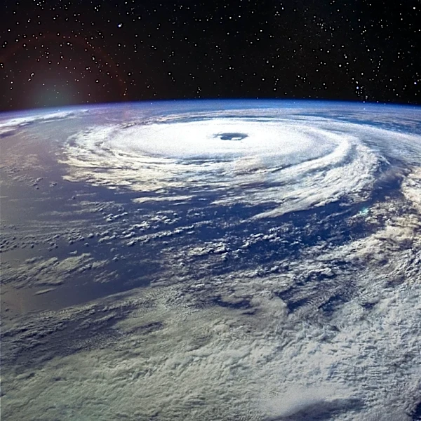
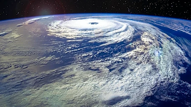
The National Oceanographic and Atmospheric Administration (NOAA) reports that El Niño will likely suppress hurricane activity in the Atlantic, leading to a below-average number of named storms. This is due to increased wind shear, which inhibits tropical storm development. In South Florida, El Niño is expected to bring a cooler, wetter winter, with an increased likelihood of severe storms due to a turbulent sub-tropical jetstream.
Why It's Important?
The presence of El Niño has major implications for weather patterns and disaster preparedness in the U.S. A quieter hurricane season could reduce the risk of storm-related damage and economic losses in the Atlantic region. However, the expected increase in severe weather during the winter months in South Florida could pose challenges for infrastructure and public safety. Understanding these patterns allows for better preparation and response strategies, potentially mitigating the impacts of extreme weather events.
What's Next?
As El Niño continues to strengthen, its effects on weather patterns will become more evident. The current forecast suggests a very strong El Niño, which could lead to significant weather anomalies. Monitoring these developments will be crucial for adjusting forecasts and preparing for potential impacts. In South Florida, authorities may need to prepare for increased storm activity and potential flooding during the winter months.