What's Happening?
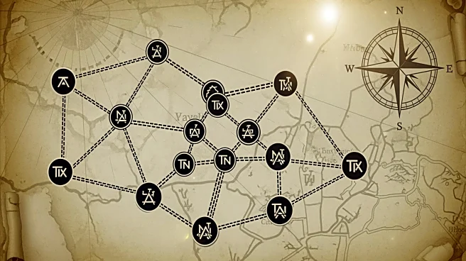
Researchers have developed Itiner-e, an interactive digital map that traces 300,000 kilometers of ancient Roman roads. This project reveals a more extensive network than previously believed, spanning Europe, Great Britain, North Africa, and the Middle
East. The map allows users to explore road segments with metadata, construction dates, and overlays of modern infrastructure. The initiative builds on historical sources like the Antonine Itinerary and the Tabula Peutingerian, offering insights into the movement of people, goods, and ideas in ancient times. The project aims to provide a comprehensive understanding of Roman infrastructure and its historical significance.
Why It's Important?
The digitization of the Roman road network is a significant advancement in historical and archaeological research. It provides a detailed view of the infrastructure that supported the Roman Empire's expansion and influence. This project not only enhances our understanding of ancient logistics and trade but also offers insights into the challenges of infrastructure development. The map serves as a valuable resource for historians, archaeologists, and educators, facilitating a deeper exploration of Roman history. Additionally, it underscores the potential of digital tools in preserving and interpreting historical data, paving the way for future research and educational initiatives.
What's Next?
The researchers acknowledge the limitations of their current map and call for further investigation into the chronological evidence of road creation and changes. Future research may focus on refining the map's accuracy and expanding its scope to include more detailed historical and geographical data. Collaboration with other institutions and the integration of new archaeological findings could enhance the map's comprehensiveness. The project sets a precedent for similar digital mapping initiatives, encouraging the use of technology in historical research and education.


