


What's Happening?
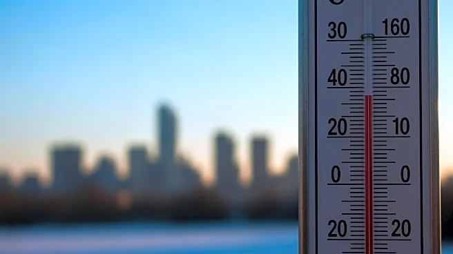
New York City experienced a brief respite from freezing temperatures on Monday, with Central Park recording a high of 34 degrees, breaking a nine-day streak of sub-freezing highs. This period of cold weather is among the longest in the city's history,
though it does not surpass the record of 16 days set in 1961. Despite the slight warm-up, temperatures are expected to remain in the low 30s and upper 20s through Friday, with another Arctic blast anticipated over the weekend. Snow showers are possible, but significant accumulation is not expected.
Why It's Important?
The persistent cold weather in New York City poses challenges for residents, particularly those without adequate heating or shelter. Prolonged exposure to such conditions can lead to increased health risks, including hypothermia and frostbite. The cold snap also affects infrastructure, with potential impacts on transportation and energy consumption. As the city braces for another Arctic blast, it highlights the need for preparedness and support systems to protect vulnerable populations.
What's Next?
As temperatures are expected to drop again over the weekend, city officials and emergency services will likely continue to monitor the situation closely. Efforts may be made to provide additional resources for those in need, such as warming centers and emergency shelters. Residents are advised to take precautions to stay warm and safe, and to be prepared for potential disruptions in services due to the weather.