


What's Happening?
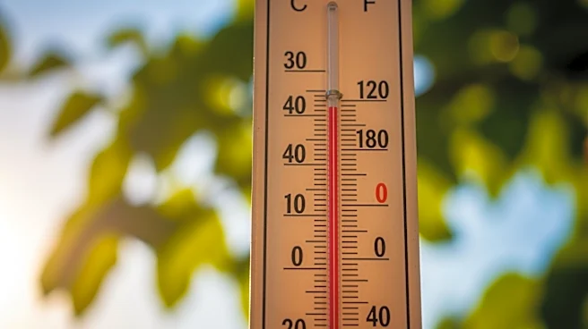
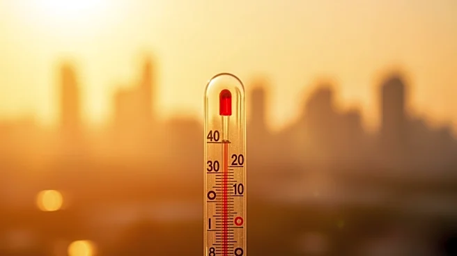
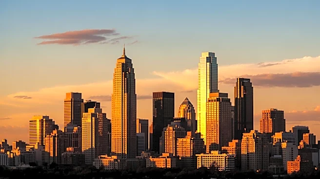
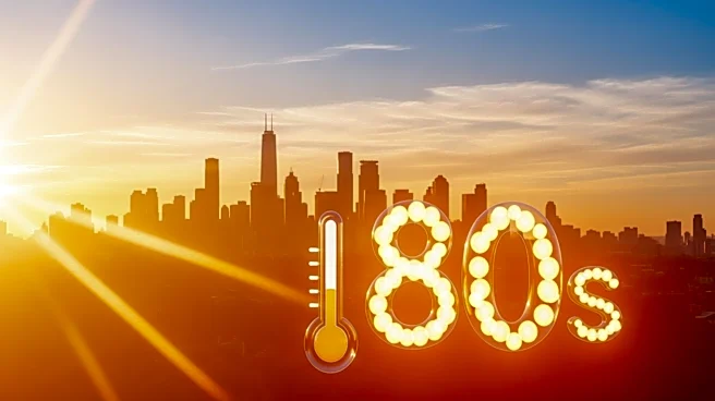
The tri-state area, including New York City, is experiencing unusually high temperatures, with forecasts predicting a high of 89 degrees, potentially breaking the previous record of 87 degrees set in 1941. This heatwave is attributed to a ridge of high pressure
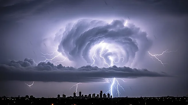
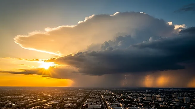
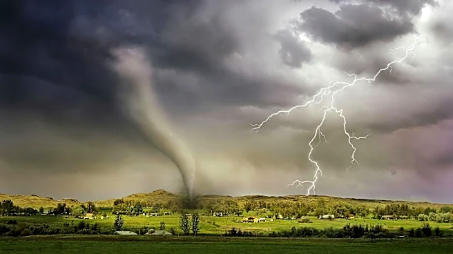
over the Western Atlantic Ocean, bringing warm air from the Southern U.S. into the region. Alongside the heat, there is a chance of isolated severe storms, particularly in areas south of a stationary front over upstate New York. These storms could bring damaging winds, although they are not expected to be widespread.
Why It's Important?
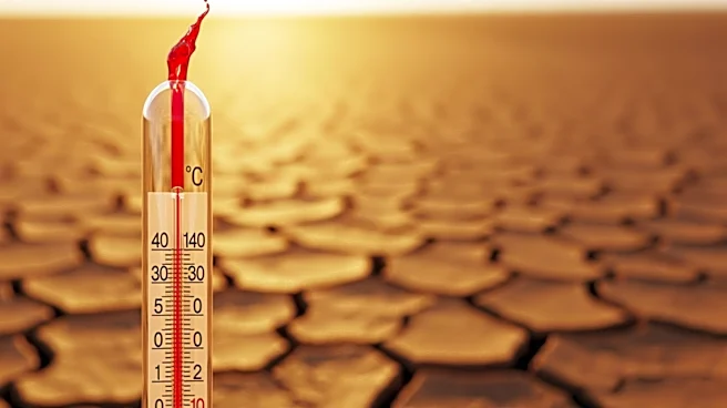
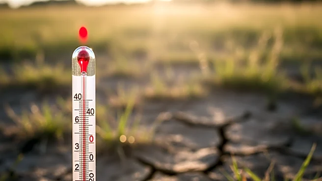
The early onset of summer-like temperatures in April highlights the increasing frequency of extreme weather events, which can disrupt daily life and pose risks to public safety. The potential for severe storms adds to the urgency for residents to stay informed and prepared for sudden weather changes. This situation also emphasizes the need for robust weather forecasting and alert systems to mitigate the impact of such events on communities.
What's Next?
Following the heatwave, temperatures are expected to drop by nearly 10 degrees on Friday, with a return to more typical spring weather by the weekend. This cooling trend will bring milder temperatures and drier conditions, although showers are likely on Sunday. Residents are advised to monitor weather updates and prepare for potential weather-related disruptions.