





What's Happening?
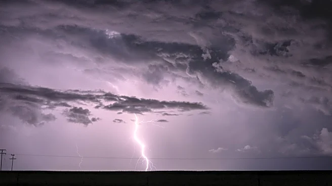
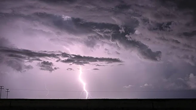
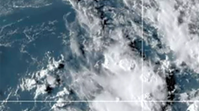
A multiday severe weather threat is impacting the Midwest and Northeast, with storms expected to bring damaging winds and potential flooding. The weather pattern is driven by a heat dome, causing repeated rounds of showers and thunderstorms from the Great
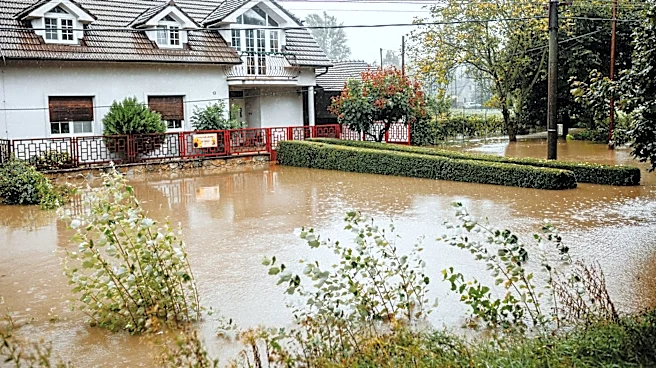
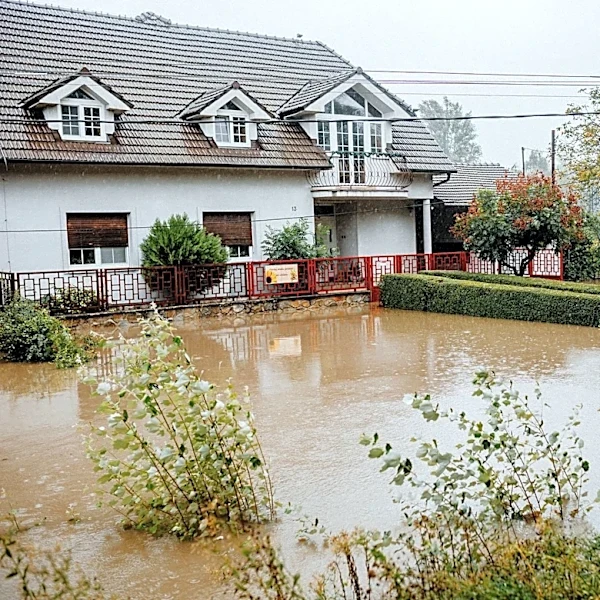
Lakes to the East Coast. The FOX Forecast Center has issued a Level 3 out of 5 severe risk for parts of the Upper Midwest, including Wisconsin and parts of Minnesota and Michigan. The severe weather is expected to shift eastward, affecting areas from Chicago to Cleveland, and eventually targeting the Mid-Atlantic and East Coast. The storms are anticipated to bring heavy rainfall and localized flash flooding, particularly in the Northeast.
Why It's Important?
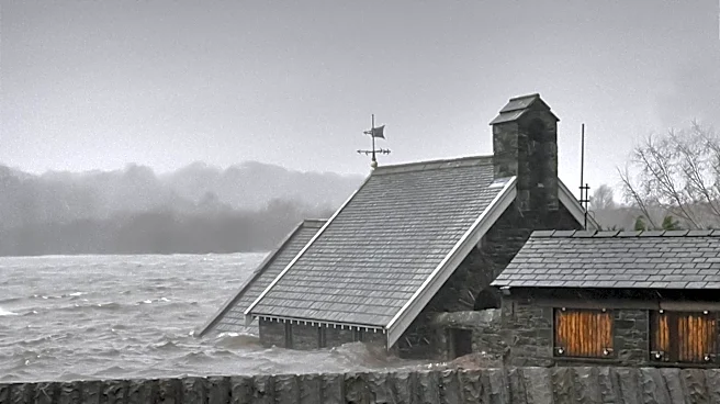
The severe weather poses significant risks to millions of Americans, with potential impacts on infrastructure, transportation, and public safety. The storms could lead to power outages, property damage, and disruptions in daily life. The threat of flash flooding is particularly concerning for urban areas with limited drainage capacity. The situation underscores the importance of emergency preparedness and the need for effective communication and response strategies to mitigate the impact of severe weather events.
What's Next?
As the weather system progresses, authorities and emergency services will need to monitor conditions closely and respond to any developments. Residents in affected areas are advised to stay informed through local news and weather updates and to take necessary precautions to ensure their safety. The potential for continued severe weather into Wednesday suggests that the situation may evolve, requiring ongoing vigilance and adaptability from both officials and the public.