


What's Happening?
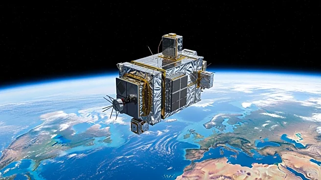
Landsat 9, a satellite launched in 2021 as part of a collaborative mission between NASA and the U.S. Geological Survey (USGS), is equipped with advanced sensors that capture high-resolution images in both visible and infrared light. This satellite plays
a crucial role in tracking environmental changes across the globe, including shrinking glaciers, shifting coastlines, urban expansion, and desert dynamics. A recent image captured by Landsat 9's Operational Land Imager-2 (OLI-2) instrument showcases the Tarim Basin in China, highlighting the intersection of desert winds and glacial meltwater. The image reveals the Mazartagh Ridge, which rises approximately 600 feet above the surrounding sands, serving as a natural barrier against the winds of the Takla Makan Desert. The Hotan River, visible in the image, carries glacial meltwater deep into the desert, supporting vegetation along its banks and historically providing nephrite jade, a valuable resource along the Silk Road.
Why It's Important?
The capabilities of Landsat 9 are significant for environmental monitoring and research, providing scientists with detailed data to understand and address global environmental challenges. By capturing images of diverse landscapes, the satellite aids in assessing the impacts of climate change, urbanization, and natural resource management. The data collected can inform policy decisions and conservation efforts, helping to mitigate adverse effects on ecosystems and human communities. The historical and cultural significance of regions like the Tarim Basin, as highlighted by Landsat 9, underscores the importance of preserving natural landscapes that have supported human civilization for centuries.
What's Next?
Continued monitoring by Landsat 9 will provide valuable insights into ongoing environmental changes, supporting efforts to adapt to and mitigate the impacts of climate change. Researchers and policymakers may use this data to develop strategies for sustainable development and conservation. As environmental conditions evolve, Landsat 9's imagery will be crucial in tracking these changes and guiding future actions. The satellite's ongoing mission will likely contribute to a deeper understanding of global environmental dynamics and the interconnectedness of natural and human systems.
Beyond the Headlines
The use of advanced satellite technology like Landsat 9 raises important ethical and legal considerations regarding data privacy and the management of shared global resources. As satellite imagery becomes increasingly detailed, questions about the ownership and use of such data may arise, necessitating international cooperation and regulation. Additionally, the cultural heritage of regions like the Tarim Basin, which have been historically significant, highlights the need to balance technological advancement with the preservation of cultural and natural heritage.