




What's Happening?
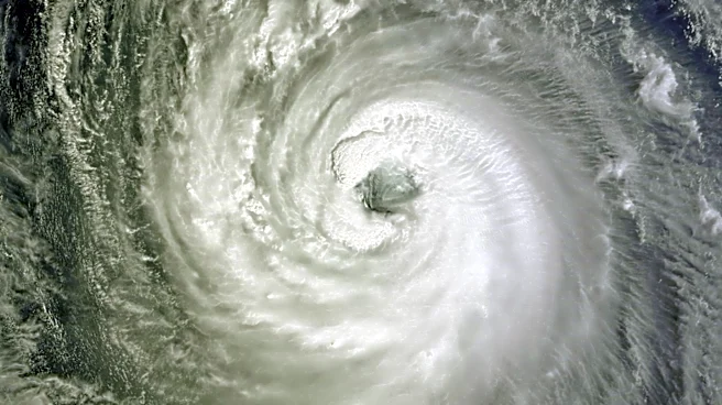
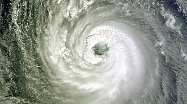
Typhoon Dolphin is intensifying as it moves westward across the Pacific Ocean towards Japan and Taiwan. As of Monday, the typhoon was located approximately 2,720 kilometers east of Taipei, moving at a speed of 23 kph. The Central Weather Administration
(CWA) of Taiwan has indicated that a sea warning could be issued as early as Friday afternoon if the storm maintains its current trajectory. The typhoon is expected to reach the waters south of the Ryukyu Islands by Saturday, although its path beyond that remains uncertain. The storm could either continue westward, impacting Taiwan more significantly, or veer northward, which would lessen its effects on the island. Despite relatively low ocean heat content along its path, the typhoon is expected to maintain its intensity, posing potential hazards to the surrounding waters by the weekend.
Why It's Important?
The potential impact of Typhoon Dolphin on Taiwan is significant due to the possible hazardous conditions it could bring to the region. A sea warning would indicate that typhoon conditions are expected within 24 hours, affecting maritime activities and possibly leading to disruptions in transportation and logistics. The storm's trajectory and intensity could also influence weather patterns, bringing isolated showers and heavy rain to northeastern Taiwan and mountainous areas. The situation underscores the importance of preparedness and timely warnings in mitigating the effects of natural disasters. The economic and social implications for Taiwan could be substantial, affecting industries such as shipping, fishing, and tourism, as well as the daily lives of residents.
What's Next?
If Typhoon Dolphin continues on its westward path, Taiwan could experience significant impacts from the storm's outer circulation. The CWA may issue a sea warning by Friday afternoon, prompting preparations for potential disruptions. Authorities and residents will need to monitor the storm's progress closely, as changes in its path could alter the level of impact. The government and emergency services are likely to implement measures to ensure public safety and minimize damage. Additionally, the storm's approach could lead to increased rainfall and shifting wind patterns, affecting weather conditions across the region.