





What's Happening?
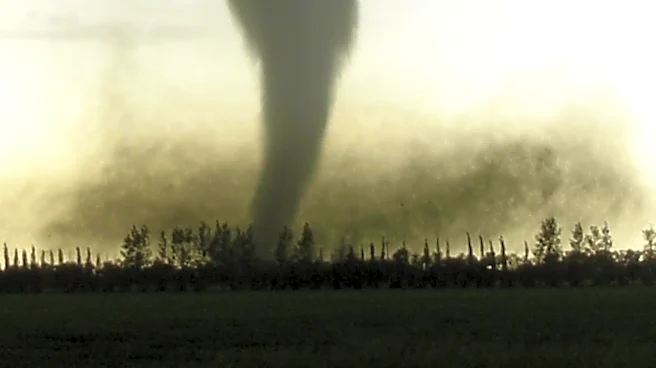
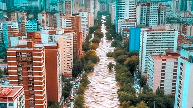
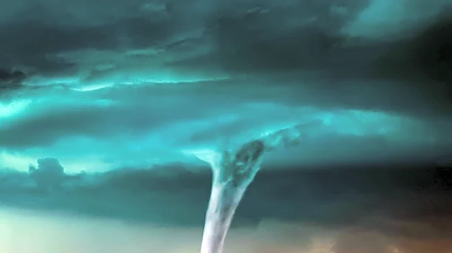
The New York City metro area is bracing for severe weather this weekend, with a significant threat of tornadoes, strong winds, and flash flooding. The National Weather Service has issued a level 3 severe weather risk on a scale of 5 for much of the tri-state
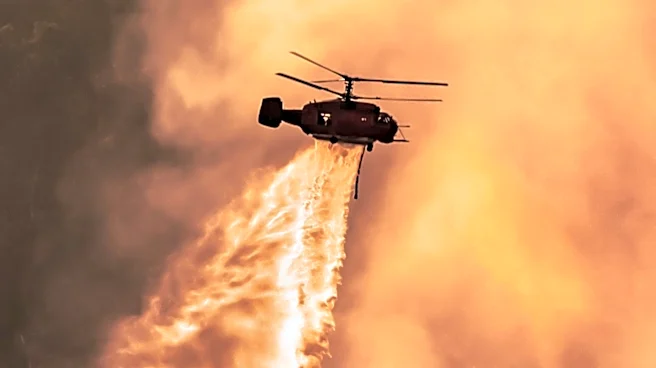
area. The storm system is expected to bring heavy thunderstorms from late morning through the evening, with the potential for damaging straight-line winds and hail. Areas most at risk include the Poconos, Catskills, and parts of New Jersey, where the strongest storms are anticipated. The storm is also expected to clear out Canadian wildfire smoke currently affecting the region.
Why It's Important?
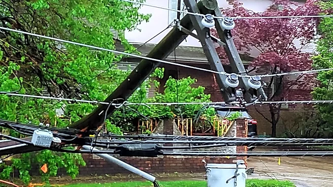
The severe weather forecast poses potential risks to public safety, infrastructure, and daily activities in the densely populated NYC area. Residents may face disruptions due to power outages, transportation delays, and property damage. The threat of tornadoes and flash flooding necessitates preparedness measures from local authorities and the public. This situation highlights the importance of effective communication and emergency response systems to mitigate the impact of natural disasters. Additionally, the clearing of wildfire smoke could improve air quality, providing some relief to residents.
What's Next?
Residents are advised to stay informed through local news and weather updates, and to prepare for possible evacuations or sheltering in place. Emergency services and local governments will likely be on high alert, ready to respond to any incidents. The aftermath of the storm may require cleanup efforts and infrastructure repairs, depending on the severity of the impact. Long-term, this event could prompt discussions on climate resilience and the need for improved infrastructure to withstand extreme weather conditions.