

What's Happening?
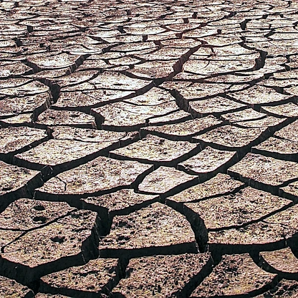
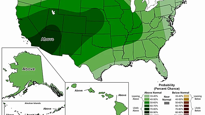
The U.S. Drought Monitor provides a comprehensive system for depicting the location and intensity of drought across the United States. This system utilizes five classifications: Abnormally Dry (D0), which indicates areas entering or exiting drought, and four
escalating levels of drought (D1–D4). The map is a collaborative effort, jointly produced by the National Oceanic and Atmospheric Administration, the U.S. Department of Agriculture, the National Aeronautics and Space Administration, and the National Drought Mitigation Center. Authors from these agencies rotate weekly to create the map, incorporating both physical indicators and input from local observers. This detailed monitoring is crucial for understanding the evolving drought conditions nationwide. The U.S. Department of Agriculture uses this map to trigger certain disaster declarations and determine loan eligibility, highlighting its practical application in federal response efforts. States and local water supply planning entities may also use this information, supplemented by additional data, to inform their own declarations and actions regarding water management.
Why It's Important?
The U.S. Drought Monitor plays a critical role in national resource management and disaster preparedness. By providing a standardized and regularly updated assessment of drought conditions, it enables federal and state agencies to make informed decisions regarding water allocation, agricultural support, and emergency response. The classifications (D0-D4) offer a clear, quantifiable measure of drought severity, which is essential for triggering specific aid programs and conservation measures. For instance, the U.S. Department of Agriculture's reliance on this map for disaster declarations directly impacts farmers and rural communities facing water shortages, allowing them access to crucial financial assistance. Furthermore, the collaborative nature of its production, involving multiple scientific agencies and local input, ensures a robust and accurate representation of conditions, fostering a unified national approach to drought mitigation. This system helps to protect communities from the health, safety, and welfare threats posed by inadequate water supply during prolonged dry periods.
What's Next?
The ongoing monitoring by the U.S. Drought Monitor will continue to provide weekly updates on drought conditions across the nation. This consistent data stream will be vital for tracking the progression or alleviation of drought, especially as seasonal weather patterns evolve. Federal agencies, particularly the U.S. Department of Agriculture, will continue to utilize these maps to assess eligibility for disaster declarations and loan programs, ensuring that affected regions receive timely support. State and local water management authorities will also rely on these updates to adjust water conservation policies, implement restrictions, and plan for future water supply needs. The continuous collection of physical indicators and local observations will allow for adaptive responses to changing environmental conditions, helping to mitigate the long-term impacts of drought on agriculture, ecosystems, and human populations. Future developments may include enhanced integration of predictive modeling to forecast drought conditions with greater accuracy.
Beyond the Headlines
The U.S. Drought Monitor's methodology, which combines objective scientific data with subjective local observations, highlights a sophisticated approach to environmental monitoring. This blend of quantitative and qualitative data ensures that the maps reflect both broad climatic trends and specific on-the-ground realities, making them highly actionable. The system also underscores the interconnectedness of various federal agencies in addressing national challenges, demonstrating how scientific collaboration can translate into tangible public policy. Ethically, the accurate and timely dissemination of drought information is crucial for equitable resource distribution and preventing disproportionate impacts on vulnerable communities. Legally, the map serves as a foundational document for triggering federal aid, illustrating how scientific assessments can have direct legal and economic consequences. Culturally, understanding drought patterns can influence long-term land use planning and agricultural practices, fostering greater resilience in regions prone to water scarcity.