


What's Happening?
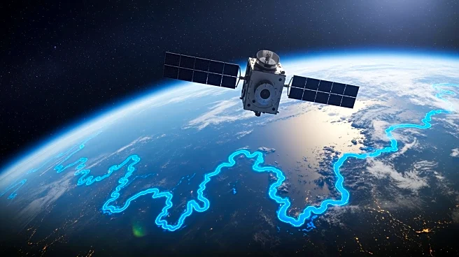
NASA and the French space agency CNES have unveiled the first global estimate of river discharge and suspended sediment from space, utilizing data from the SWOT satellite. This development marks a significant advancement in understanding Earth's water
systems. The SWOT satellite, a collaborative effort involving NASA's Jet Propulsion Laboratory, CNES, CSA, and the UK Space Agency, provides estimates of river discharge and sediment concentration for rivers wider than 160 feet. This data is crucial for efficient freshwater management, flood prediction, and crop yield forecasting. The information is publicly accessible through NASA's Physical Oceanography Distributed Active Archive Center.
Why It's Important?
The ability to estimate river discharge and sediment concentration globally from space has profound implications for environmental management and disaster preparedness. Accurate data can enhance freshwater resource management, improve flood prediction models, and aid in agricultural planning by forecasting crop yields. This technological advancement supports global efforts to address water scarcity and climate change impacts, offering tools for policymakers and scientists to make informed decisions. The accessibility of this data to the public also promotes transparency and collaboration in addressing global water challenges.