


What's Happening?
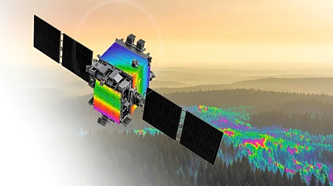
NASA's SARP West 2025 Land Group is conducting research on the use of imaging spectroscopy to detect and manage wildfire risks in California. The group is studying the epiphytic macrolichen Ramalina menziesii, which plays a role in wildfire spread due
to its ability to survive with low water content. The research involves collecting reflectance spectra from the Sedgwick Reserve in Santa Barbara County to build a spectral library for lichen detection. This library is used to simulate mixed spectroscopic pixels to assess lichen coverage, which can inform wildfire management strategies. The group is also investigating the influence of pre-fire fuels and topography on burn severity prediction, using models to improve fire management strategies.
Why It's Important?
The research conducted by NASA's SARP West 2025 Land Group is crucial for improving wildfire management and mitigation strategies. By utilizing imaging spectroscopy to detect lichen coverage, the group aims to provide novel information to wildland firefighters, potentially enhancing their ability to predict and manage wildfire spread. Understanding the factors influencing burn severity, such as pre-fire fuels and topography, can lead to more effective fire management strategies, reducing the impact of wildfires on ecosystems and communities. This research highlights the importance of advanced imaging techniques in addressing environmental challenges and improving public safety.