




What's Happening?
NASA has unveiled a new, highly detailed map of the bedrock beneath Greenland's vast ice sheet, revealing an expansive network of subglacial valleys. This map was created using a method called Ice Flow Perturbation Analysis, which infers the shape of the buried
landscape from subtle signatures left on the ice surface as ice flows over valleys and ridges. Satellites meticulously map these ice surface features, allowing scientists to deduce the underlying topography. The research, published in Geophysical Research Letters, identified 1,943 subglacial valleys, with approximately one-third being newly discovered. Many previously known valleys, particularly those near the ice sheet's edge, were found to extend hundreds of kilometers farther inland than previously mapped in datasets like BedMachine Greenland.
Why It's Important?
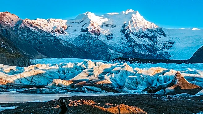
This new mapping significantly enhances the understanding of Greenland's geological history and provides crucial data for refining future projections of the ice sheet's behavior. The discovery of extensive, previously unknown valleys and the extended lengths of others indicate a more complex subglacial landscape than previously understood. Since ice flow concentrates in valleys, forming glaciers that calve into fjords, a better understanding of this topography is vital for predicting how the ice sheet will respond to climate change. Faster ice flow in these valleys can accelerate ice loss, impacting global sea levels. The findings also offer insights into the island's ancient geological processes, including potential tectonic influences and widespread groundwater networks that may have carved these valleys before the ice sheet formed.
What's Next?
The detailed subglacial map will be used to improve future versions of BedMachine Greenland, a high-resolution dataset of the terrain beneath the ice sheet. Researchers will continue to analyze the puzzling aspects of the topography, such as the long, straight, and consistently aligned valleys in the west-central region, to better understand their origins and implications. The enhanced understanding of the relationship between ice flow and valleys will allow scientists to create more accurate models for predicting ice sheet retreat and its long-term effects on sea level rise. This ongoing research will be critical for climate scientists and policymakers in preparing for the consequences of a changing Arctic environment.
Beyond the Headlines
The revelations about Greenland's hidden landscape underscore the profound impact of geological history on current environmental dynamics. The existence of ancient mountain ranges and extensive valley networks beneath the ice suggests a dynamic interplay between geological forces and glacial processes over millions of years. This research also highlights the power of advanced satellite technology and analytical methods in uncovering secrets hidden beneath vast natural formations, pushing the boundaries of Earth science. Ethically, the improved predictive capabilities regarding ice sheet melt place a greater responsibility on global communities to address climate change, as the consequences of inaction become more precisely quantifiable. The findings also open new avenues for studying planetary geology, as similar subglacial features might exist on other icy celestial bodies.