







What's Happening?
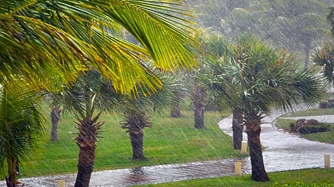
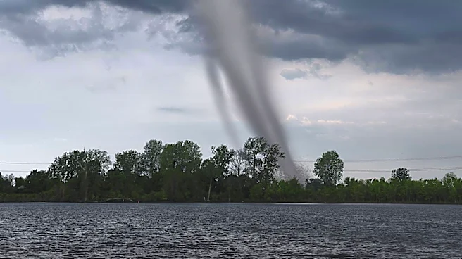
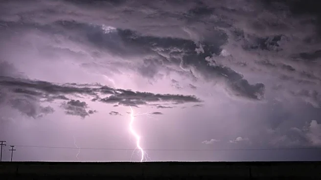
Southern New England is experiencing a pleasant weekend with sunny skies and mild temperatures. However, weather forecasts predict a shift starting Tuesday, with several rounds of showers and thunderstorms expected through Thursday. This weather system
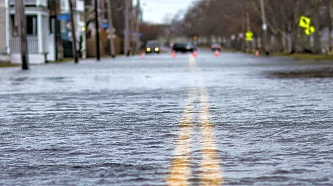
is anticipated to bring significant rainfall, raising the risk of localized downpours and flash flooding, particularly in areas where storms repeatedly pass. While the exact impact is still uncertain, Wednesday is likely to be the wettest day of the week. Residents are advised to stay informed and prepare for potential weather disruptions.
Why It's Important?
The upcoming weather changes highlight the region's vulnerability to sudden shifts in weather patterns, which can lead to flooding and other hazards. The forecasted storms and potential flooding could impact daily activities, transportation, and infrastructure in Southern New England. Local authorities and emergency services may need to prepare for increased demand and potential response efforts. The situation underscores the importance of effective communication and preparedness measures to mitigate the impact of severe weather on communities and ensure public safety.
What's Next?
Residents and local authorities will closely monitor weather updates and advisories as the week progresses. Emergency services may prepare for potential flooding and other weather-related incidents, ensuring resources are available for rapid response. Community members are encouraged to stay informed through local news and weather channels, taking necessary precautions to protect themselves and their property. The situation may also prompt discussions on long-term strategies for managing weather-related risks and enhancing community resilience to climate variability.