








What's Happening?
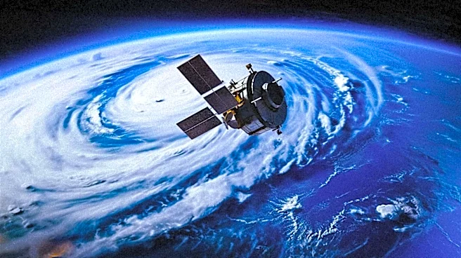
An international research team, including scientists from the University of Göttingen, has developed a new satellite-based model to assess Alpine peatlands in Austria, Germany, and Switzerland. The model, which combines visible light and radar satellite data
from 2019 to 2023 with on-the-ground studies, frequently indicates that these peatland areas are significantly smaller than what is depicted on official maps. This discrepancy is particularly evident in regions where aerial photographs show clear signs of disturbance. The study analyzed 590 mapped peatlands and found visible signs of disturbance at nearly 90% of the sites, including encroaching trees and shrubs, new infrastructure, and drainage for agricultural purposes like hay production. These findings, published in the journal Communications Earth & Environment, suggest that the condition of many Alpine bogs may be more severely affected than previously understood.
Why It's Important?
Alpine peatlands are crucial ecosystems with significant ecological importance. They act as long-term carbon sinks, playing a vital role in climate regulation by storing carbon. Additionally, these peatlands are essential for regulating the water cycle and provide unique habitats for specialized animal and plant species. The revelation that these peatlands may be smaller and more degraded than official records suggest has serious implications for environmental conservation efforts. Accurate and up-to-date data are critical for effective planning of conservation and restoration interventions. The widespread degradation, indicated by drainage and infrastructure development, could lead to reduced carbon sequestration capacity, altered water flow, and a loss of biodiversity, impacting regional ecological stability and potentially contributing to broader climate challenges.
What's Next?
The research team is advocating for a more comprehensive survey of Alpine peatlands and improved coordination in their protection and restoration. Their newly developed, freely available approach offers a method for regular satellite monitoring of these critical ecosystems. This monitoring can facilitate the planning of targeted field surveys and ensure that maps are kept up to date, providing more accurate information for conservationists and policymakers. The findings are expected to prompt a re-evaluation of existing conservation strategies and potentially lead to the implementation of more rigorous measures to protect and restore these vulnerable habitats. Future efforts will likely focus on integrating this new satellite data into regional and national environmental management plans to address the identified degradation.
Beyond the Headlines
The discrepancies between official maps and satellite data highlight a broader challenge in environmental monitoring and conservation: the reliance on outdated or incomplete information. This situation underscores the need for continuous technological advancement and integration in ecological studies. The degradation of Alpine peatlands, often due to agricultural expansion and infrastructure development, reflects the ongoing tension between human economic activities and environmental preservation. Ethically, it raises questions about the responsibility of nations to protect shared natural resources and the long-term consequences of habitat destruction. The study also points to the potential for satellite technology to revolutionize environmental assessment, offering a more dynamic and accurate understanding of ecological changes, which can inform more effective and timely conservation actions.