



What's Happening?
Oklahoma State Climatologist Gary McManus has indicated that drought relief may be on the horizon for the state's agricultural lands due to a strengthening El Niño pattern. Speaking at a recent Drought Commission meeting, McManus detailed the severe drought conditions
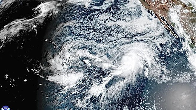
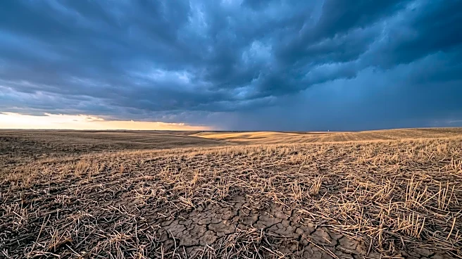
currently affecting Oklahoma, particularly the western and central regions, which have experienced extreme to exceptional drought. Some areas in southwest and west-central Oklahoma have recorded their driest or second-driest year on record over the past 365 days. The intense dry spell has persisted since August of the previous year. However, a powerful El Niño developing in the Pacific is projected to reach 'very strong' or even 'historic' levels. This El Niño typically leads to wetter-than-normal conditions for Oklahoma and the southern U.S., with increased probabilities for above-normal precipitation from October through March. While not a guarantee, this forecast represents a significant shift from the previous year's below-normal moisture outlooks.
Why It's Important?
The potential for drought relief is critically important for Oklahoma's agricultural sector, which has been severely impacted by prolonged dry conditions. The current drought has left wide swaths of the state in critical shape, affecting crop yields and livestock. A return to wetter conditions could help replenish depleted soil moisture, recharge farm ponds, and alleviate the financial strain on producers. The shift from warmer-than-normal temperatures dominating long-term charts to more frequent storm systems also offers a chance for winter precipitation, including snow, which can effectively replenish soil moisture as it melts. However, the hardened topsoil from prolonged heat poses a challenge, as heavy downpours could lead to runoff rather than deep absorption. This situation underscores the need for sustained, moderate rainfall events to allow for gradual soil saturation. The reliance on El Niño for relief highlights the vulnerability of agricultural practices to large-scale climate phenomena and the importance of long-range climate outlooks for operational decisions.
What's Next?
Agricultural producers in Oklahoma are advised to continue implementing solid preparation practices, treating long-range climate outlooks as a 'nudge' rather than a definitive 'trigger' for operational decisions. State Climatologist Gary McManus emphasized the importance of local producers consistently reporting conditions and ground impacts to the U.S. Drought Monitor. These reports are crucial for reflecting ground-level realities and can help trigger available aid programs, as drought monitor authors rely heavily on index values in addition to ground impacts. In the immediate future, more substantial chances for widespread rain are expected in western Oklahoma, with scattered showers possible further east. A Pacific moisture plume is anticipated to move into the High Plains, potentially bringing good rains to the Panhandle and far western Oklahoma. Looking further ahead, forecasts for 7-10 days out suggest higher and more widespread rainfall amounts across other parts of the state, offering hope for broader relief.
Beyond the Headlines
The ongoing drought in Oklahoma and the anticipated relief from El Niño underscore the broader challenges of climate variability and its impact on regional economies and livelihoods. The need for producers to report ground conditions to the U.S. Drought Monitor highlights a critical gap between scientific modeling and on-the-ground realities, emphasizing the importance of local data for effective policy and aid distribution. This situation also brings to light the ethical considerations of relying on natural climate phenomena for agricultural stability, especially as global climate change may exacerbate the intensity and frequency of such events. The potential for heavy runoff on hardened soils, even with increased precipitation, points to the need for long-term soil health management strategies to improve water absorption and resilience against future droughts. This scenario serves as a 'postcard from our future,' as researchers suggest, where today's extreme temperatures could become the new normal, necessitating proactive measures and adaptive strategies in agriculture and water management.