




What's Happening?
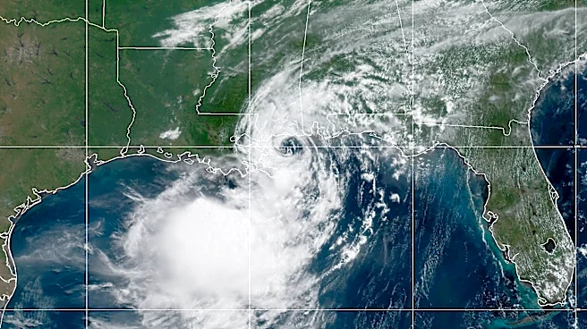
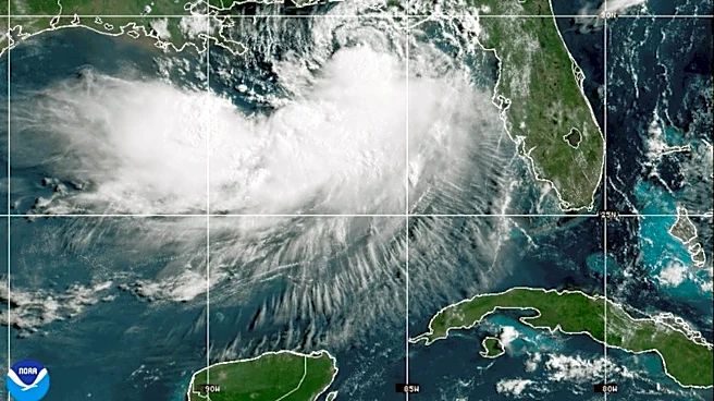
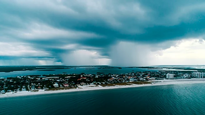
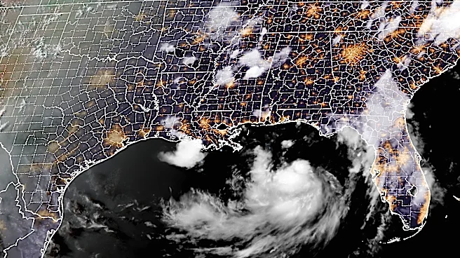
Tropical Storm Bertha, the second named storm of the Atlantic hurricane season, is moving along the northern Gulf Coast, bringing up to four feet of storm surge and winds as high as 50 mph. The storm is not expected to strengthen into a hurricane, but
the unusually warm Gulf waters increase the risk of powerful storms. The National Hurricane Center and Colorado State University forecast fewer storms this season due to a strong El Niño, which typically reduces hurricane activity. However, the warm Atlantic waters could still fuel stronger storms. Residents are advised to prepare for the hurricane season by making evacuation plans and checking insurance coverage.
Why It's Important?
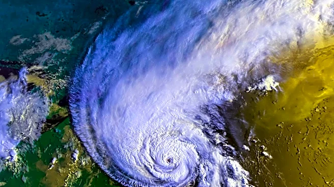
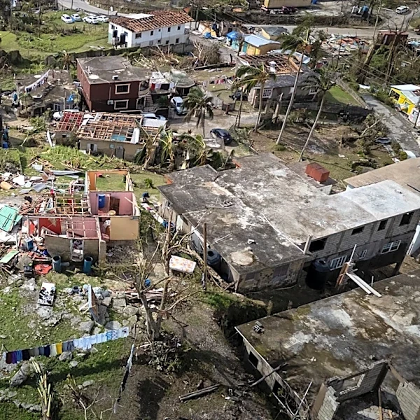
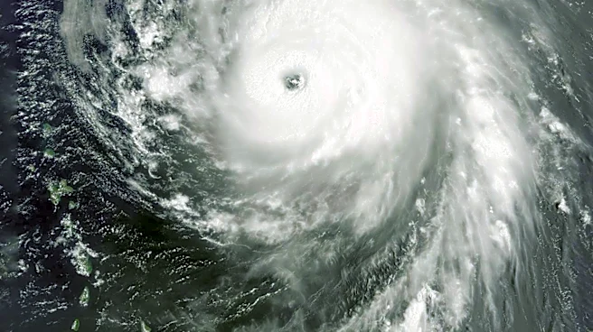
The movement of Tropical Storm Bertha highlights the ongoing threat of tropical storms to the Gulf Coast, even in a season predicted to have fewer storms. The warm waters of the Gulf act as fuel for storms, potentially leading to more intense weather events. This situation underscores the need for preparedness among coastal residents, as even a single storm can cause significant damage. The storm also serves as a reminder of the broader impacts of climate change, with warmer ocean temperatures contributing to the intensity of storms. The advice to prepare for the hurricane season remains crucial, as the potential for severe weather persists.
What's Next?
As Bertha continues its path along the Gulf Coast, residents should remain vigilant and follow updates from the National Hurricane Center. The storm is expected to maintain its current intensity, with the potential for flash flooding and coastal impacts. The broader hurricane season outlook suggests that while the number of storms may be lower, the risk of powerful storms remains due to warm ocean temperatures. Residents are encouraged to review their emergency plans and ensure they have adequate insurance coverage. The situation also calls for continued monitoring of weather patterns and potential impacts on coastal communities.