




What's Happening?
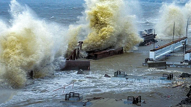
Typhoon Noul has formed north of the Philippines and is projected to intensify as it moves between the Philippines and Taiwan. The storm is expected to make landfall on China's southeast coast as a Category 1 typhoon by Sunday morning local time. This
development follows the formation of Tropical Depression 11, which evolved into Tropical Storm Noul. The strengthening El Niño is anticipated to increase typhoon activity in the western Pacific, contributing to the storm's intensification.
Why It's Important?
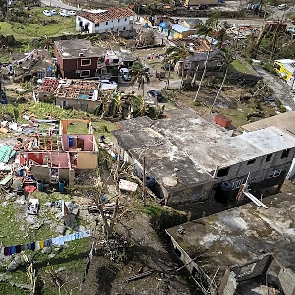
The intensification of Typhoon Noul poses significant risks to the regions in its path, particularly in terms of potential damage to infrastructure, agriculture, and local economies. The storm's trajectory towards densely populated areas in China could lead to substantial economic losses and necessitate large-scale evacuations. Additionally, the increased typhoon activity linked to El Niño highlights the broader impacts of climate patterns on weather events, which can have cascading effects on global supply chains and economic stability.
What's Next?
As Typhoon Noul approaches, emergency services in the affected regions are likely to prepare for potential evacuations and disaster response efforts. Authorities in China may issue warnings and advisories to minimize the impact on communities. The situation will require close monitoring to assess the storm's development and potential changes in its path or intensity.