
What's Happening?
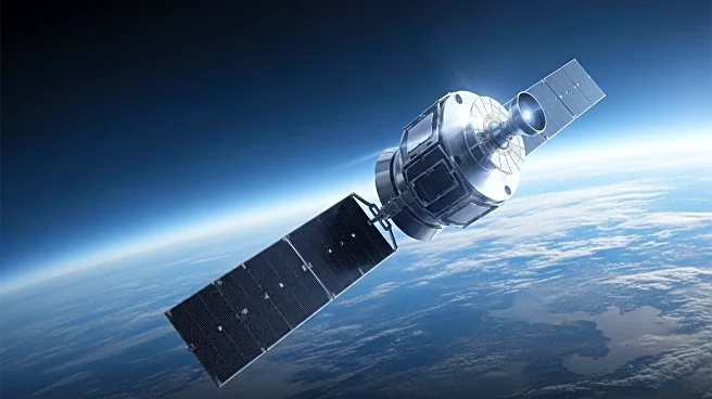
NASA, in collaboration with the Indian Space Research Organization (ISRO), successfully launched the NISAR mission on July 30, 2025. The mission aims to use synthetic aperture radar technology to provide detailed global mapping of Earth's surface changes. NISAR will utilize L-band and S-band radar frequencies to penetrate clouds and forest canopies, offering insights into ecosystem disturbances, natural hazards, and groundwater issues. The mission's data will be freely available to the public, enhancing research capabilities in Earth system science.
Why It's Important?
The NISAR mission represents a significant advancement in Earth observation technology, providing researchers with unprecedented data to study complex environmental processes. By offering detailed measurements of Earth's surface changes, NISAR can improve understanding of climate change impacts, natural disaster responses, and resource management. The collaboration between NASA and ISRO highlights the importance of international partnerships in advancing scientific research and addressing global challenges. The mission's open data policy promotes transparency and accessibility, fostering innovation and collaboration in the scientific community.
What's Next?
Following the successful launch, NISAR will undergo a 90-day commissioning phase to test its systems before commencing science operations. Researchers will begin analyzing the data to gain new insights into Earth's dynamic processes. The mission's findings could influence policy decisions related to climate change, disaster management, and environmental conservation. As NISAR continues to collect data, its impact on scientific research and public awareness of environmental issues will be closely monitored.