


What's Happening?
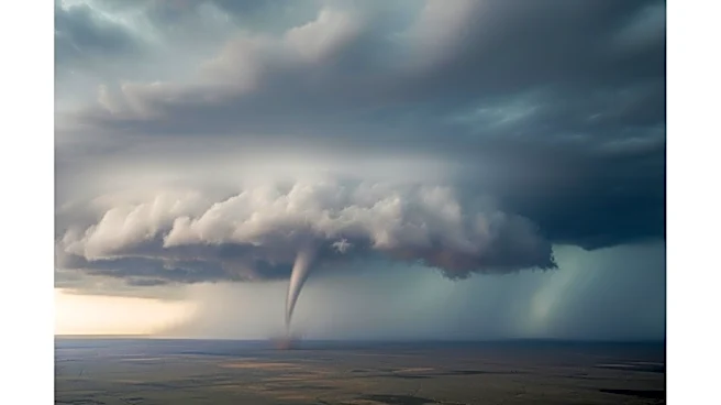
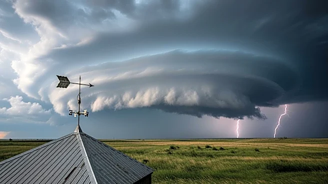
The central United States is bracing for another day of severe weather, with the potential for strong tornadoes and flooding rains. A high-pressure system across the eastern U.S. is pushing Gulf moisture northward, while southward plunges of the jet stream
are creating conditions conducive to severe weather. Over 750 reports of severe weather have been recorded from Monday through Thursday night, including nearly 50 reports of tornadoes. The severe weather has caused significant damage, including power outages and structural damage in several states. The combination of heavy rain, warmer air, and snowpack has led to significant flooding in northern Michigan, with some rivers reaching major flood stages.
Why It's Important?
The persistent severe weather poses a significant threat to communities across the Plains and Midwest. The potential for tornadoes, large hail, and damaging winds could result in widespread damage to homes, businesses, and infrastructure. Flooding is also a major concern, with the potential to disrupt transportation and cause economic losses. The ongoing severe weather highlights the need for effective emergency response and preparedness measures to protect lives and property.
What's Next?
The severe weather threat is expected to continue into the weekend, with the potential for additional rounds of storms. Residents in the affected areas are advised to stay informed and be prepared to take action if warnings are issued. The National Weather Service and local authorities are closely monitoring the situation and will provide updates as needed. The public is encouraged to have emergency plans in place and to avoid travel in affected areas if possible.