




What's Happening?
A potential nor'easter is expected to impact the Northeast later this week, bringing a combination of rain, snow, gusty winds, and the first frost and freezes for millions. A deep dip in the jet stream, known as a trough, will bring significantly colder
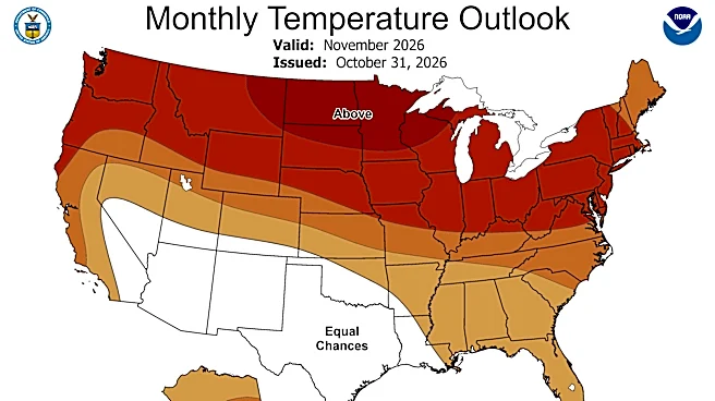
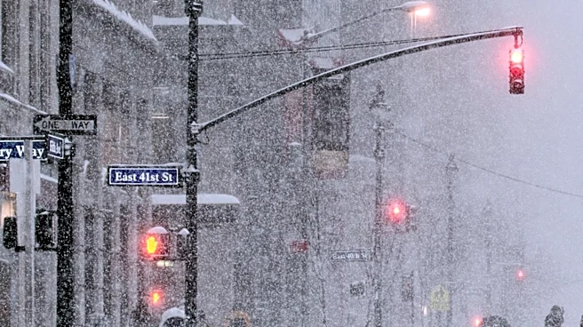
air across the East, causing temperatures to plummet by 20 degrees from Wednesday to Friday, from Chicago to Atlanta. By the weekend, lows could drop into the 30s as far south as the Florida Panhandle. A low-pressure system will develop over the Midwest by Wednesday, strengthening as it moves into the Ohio Valley Wednesday night, bringing rainfall from Georgia to Michigan. This system will then shift east, interacting with the surging cold air, leading to the first chances of snow across interior regions of the Northeast by Thursday night, including lake-effect snow bands from the Great Lakes.
Why It's Important?
The impending weather system poses significant challenges across the eastern U.S. The rapid drop in temperatures will necessitate increased heating, potentially impacting energy consumption and costs for households and businesses. The combination of rain, snow, and ice in the Northeast could create hazardous driving conditions, disrupt travel, and lead to power outages, particularly in areas prone to nor'easters. For agriculture, the first hard freeze in the South could affect crops and require protective measures. The uncertainty in model predictions regarding the storm's track and speed highlights the complexities of forecasting and the need for continuous monitoring, as even slight shifts can drastically alter local impacts. This event underscores the importance of preparedness for winter weather conditions, even as the season officially begins.
What's Next?
Meteorological models, specifically the European and American (GFS) models, currently show some disagreement on the exact trajectory and speed of the low-pressure system. The GFS model suggests the low will slow down, leading to prolonged lake-effect snow in the interior Northeast and extended rain along the I-95 corridor. The Euro model, however, predicts a faster-moving storm that will move offshore after bringing rain, winds, and snow on Friday and Saturday. While major metropolitan areas along the I-95 corridor are not currently expected to see snow due to temperatures remaining above freezing, the rain/snow line will be close. Residents are advised to monitor local forecasts closely as the week progresses for updated information on snow totals, precipitation types, and potential hazards. Preparedness for hazardous road conditions and potential power disruptions is recommended.
Beyond the Headlines
This weather event, while a typical seasonal transition, highlights the dynamic nature of atmospheric conditions and the challenges in precise forecasting, especially when different models present varying outcomes. The term 'nor'easter' itself, often associated with severe winter storms, simply refers to a low-pressure system off the East Coast bringing winds from the northeast, and can occur year-round. The interaction between cold air masses and moisture from the Great Lakes, leading to lake-effect snow, is a recurring phenomenon with significant local impacts. The broader context of such events includes their potential economic costs, from increased energy demand to disruptions in commerce and transportation, and the ongoing need for communities to adapt to and prepare for variable weather patterns.