


What's Happening?
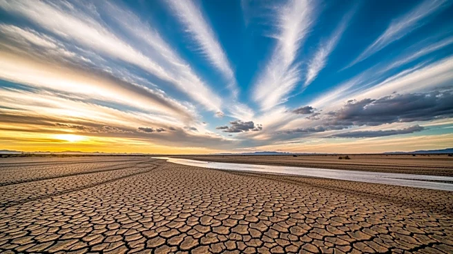
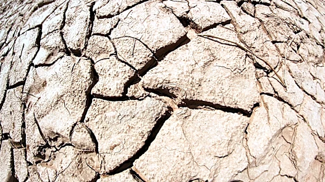
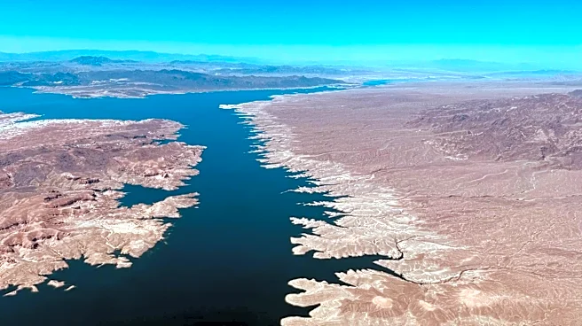
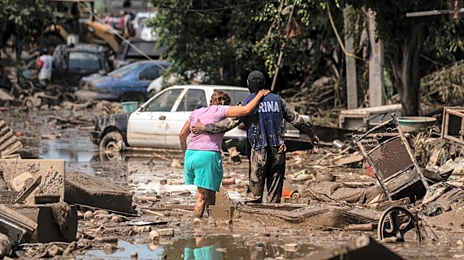
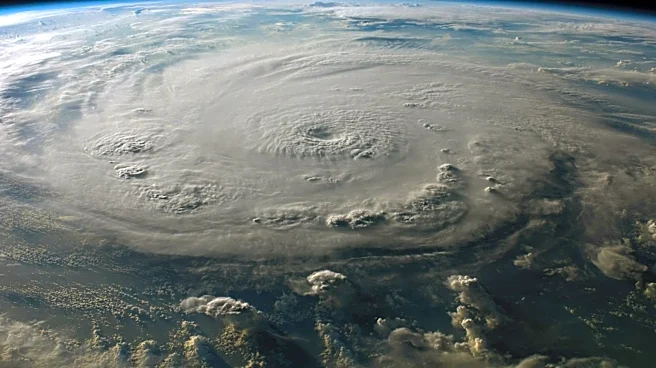
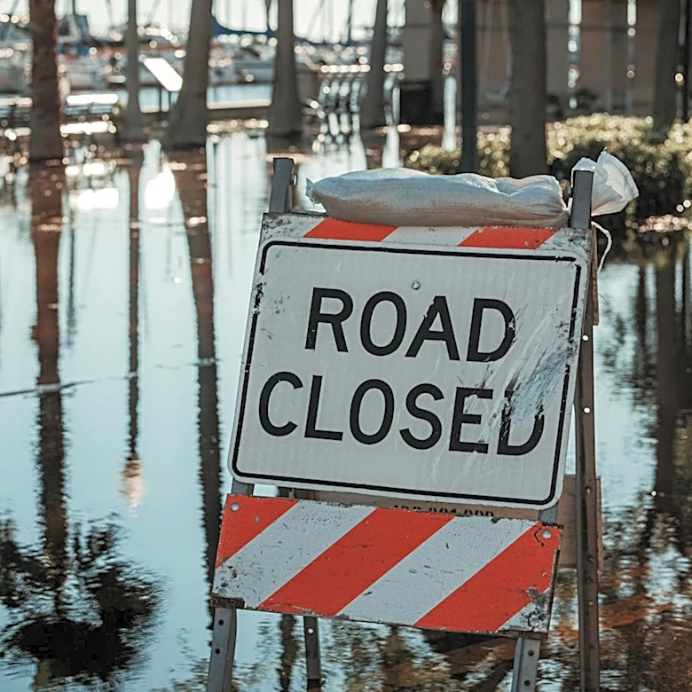
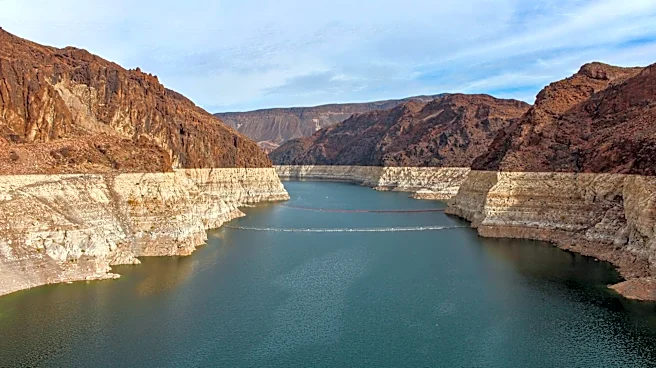
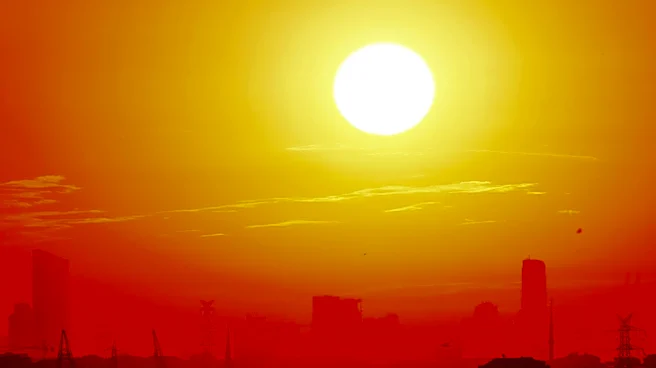
A potentially powerful El Niño is expected to significantly alter U.S. weather patterns in the coming months. Forecasters warn of increased hurricane activity in the Pacific, heightened flooding risks in certain regions, and exacerbated heat, drought,
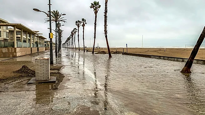
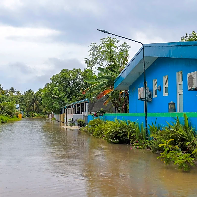
and wildfire conditions in others. The National Oceanic and Atmospheric Administration's Climate Prediction Center anticipates El Niño conditions to develop between May and July, with the possibility of a 'super' El Niño amplifying its impacts. This natural climate cycle, known as the El Niño–Southern Oscillation, affects ocean temperatures and disrupts typical wind and rainfall patterns, potentially leading to warmer, drier conditions in the Northern U.S. and wetter weather across the Gulf Coast and Southeast.
Why It's Important?
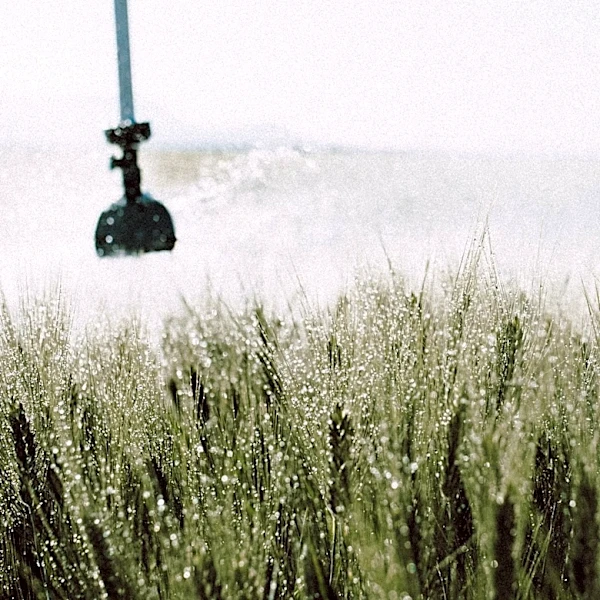
The anticipated El Niño could have significant implications for U.S. weather, agriculture, and disaster preparedness. Increased hurricane activity in the Pacific could lead to more severe storms, while the potential for drought and wildfires in the Northwest poses risks to communities and ecosystems. The agricultural sector may face challenges due to altered rainfall patterns, impacting crop yields and food supply. Additionally, the potential for flash flooding in various regions could strain infrastructure and emergency services. Understanding and preparing for these changes is crucial for mitigating the potential economic and social impacts.
What's Next?
As El Niño conditions develop, meteorologists and government agencies will closely monitor weather patterns to provide timely warnings and guidance. Communities in affected areas may need to implement drought and wildfire mitigation strategies, while coastal regions prepare for increased hurricane activity. Policymakers and emergency services will likely focus on enhancing disaster response plans and infrastructure resilience to cope with potential flooding and extreme weather events.