




What's Happening?
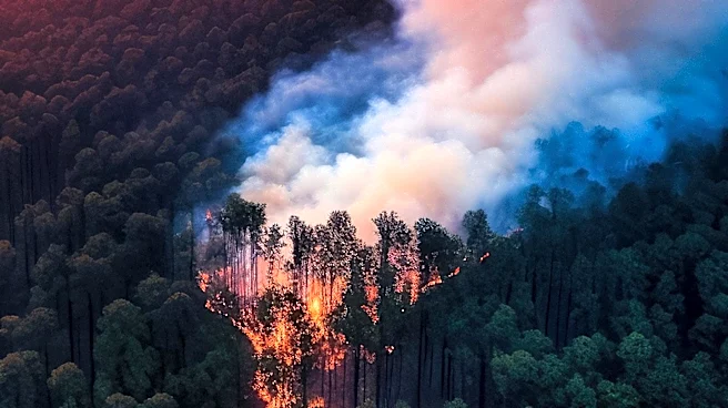
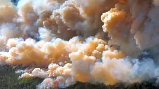
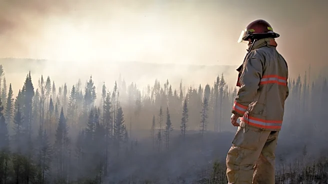
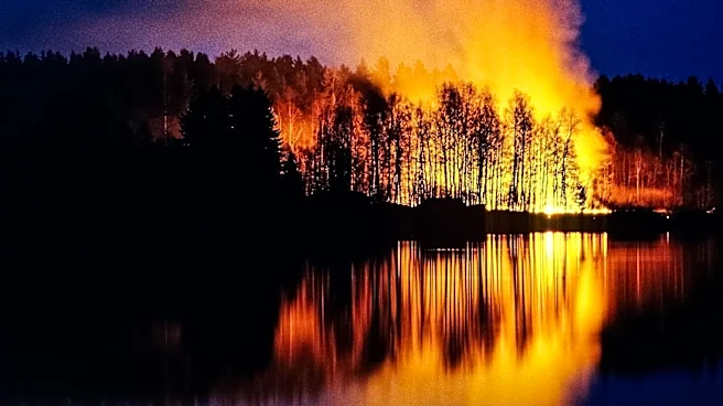
Satellite images have captured the extensive smoke from over 850 wildfires currently raging across Canada, particularly in Manitoba, Saskatchewan, and Ontario. These fires are largely uncontrolled and have resulted in significant smoke plumes visible
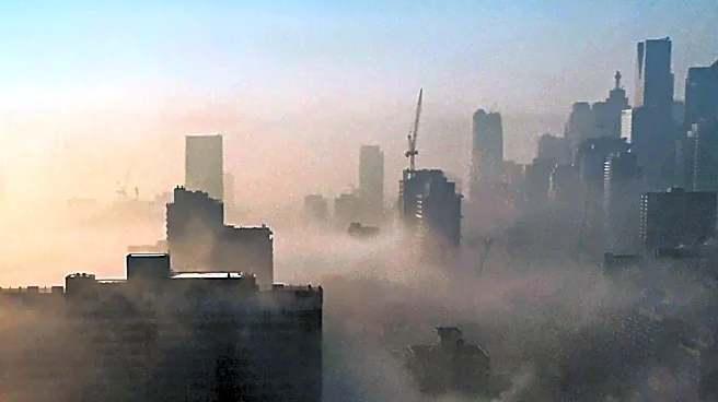
from space. The smoke has drifted into the northeastern United States, causing air quality concerns. On July 16, New York's air quality was deemed 'very unhealthy,' prompting the state to activate emergency air quality protocols. The NOAA-21 satellite, equipped with the VIIRS instrument, has been monitoring the situation, showing massive smoke plumes over southeastern Canada extending into the northeastern U.S.
Why It's Important?
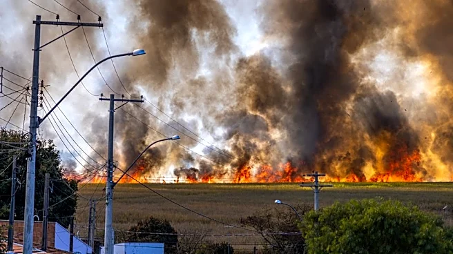
The visibility of wildfire smoke from space underscores the severity of the fires and their impact on air quality across North America. This situation highlights the broader implications of climate change, which is expected to exacerbate the frequency and intensity of wildfires. The smoke poses health risks, particularly for vulnerable populations, and disrupts daily life in affected areas. The data collected from satellites is crucial for both immediate disaster response and long-term climate change mitigation strategies.