






What's Happening?
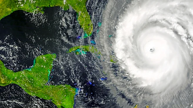
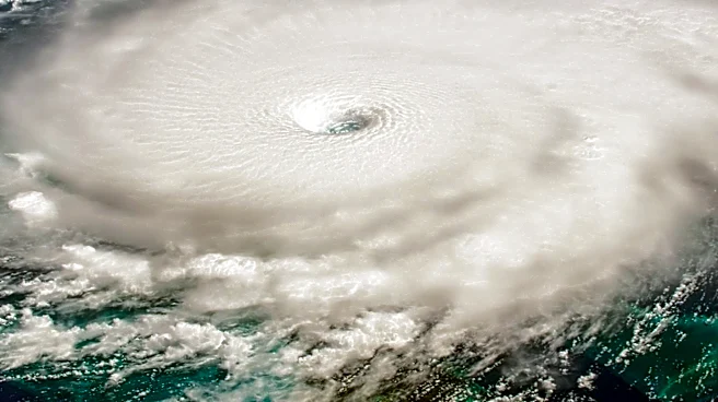
Hurricane Fausto, currently located in the Pacific Ocean, is maintaining its strength with winds at 65 knots. The National Hurricane Center reports that the hurricane is moving west-northwest at 10 knots. Despite its current intensity, Fausto's core has
not regained significant organization. The hurricane is expected to continue on this trajectory due to the subtropical ridge to its north and northeast. Forecast models suggest that Fausto will experience gradual strengthening over the next 48-60 hours, potentially reaching a peak intensity of 85 knots. However, as it moves over cooler sea surface temperatures and encounters drier atmospheric conditions, a weakening trend is anticipated after 72 hours.
Why It's Important?
Hurricane Fausto's development is significant as it highlights the ongoing hurricane activity in the Pacific, which can have implications for weather patterns and marine conditions. While Fausto is not currently threatening land, its progression is closely monitored by meteorologists to understand potential impacts on shipping routes and coastal areas. The hurricane's behavior also provides valuable data for improving predictive models and understanding the dynamics of tropical cyclones, which is crucial for preparedness and response strategies in regions prone to such weather events.
What's Next?
As Hurricane Fausto continues its path, meteorologists will monitor its intensity and trajectory closely. The forecast suggests a period of strengthening followed by weakening, which will be critical in determining any potential impacts. Stakeholders, including shipping companies and coastal management agencies, will need to stay informed about Fausto's developments to mitigate any risks associated with its passage. The situation underscores the importance of continuous monitoring and adaptive response strategies in managing the challenges posed by tropical cyclones.