


What's Happening?
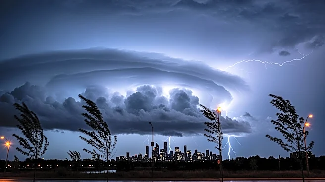
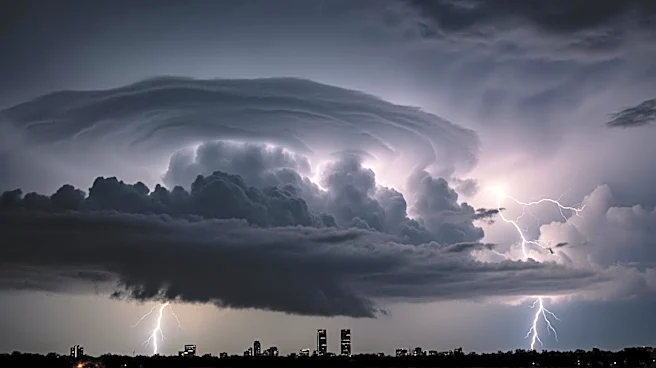
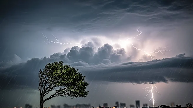
The National Weather Service has issued a hazardous weather outlook for the Chicago area, forecasting multiple rounds of thunderstorms on Monday. These storms are expected to bring large hail, damaging winds, and additional precipitation to the already
rain-soaked city. The first round of storms is anticipated between 8 a.m. and 1 p.m., with a more severe second round expected from 4 p.m. to 10 p.m. A warm front is predicted to intensify the afternoon storms, although its exact position will depend on the morning's weather activity. Chicago has experienced an unusually wet spring, with 10 inches of rain recorded by April 17, marking the wettest start to meteorological spring in the city's history. This excessive rainfall has already caused widespread basement flooding, particularly on the Northwest Side, and further flooding is possible with the upcoming storms.
Why It's Important?
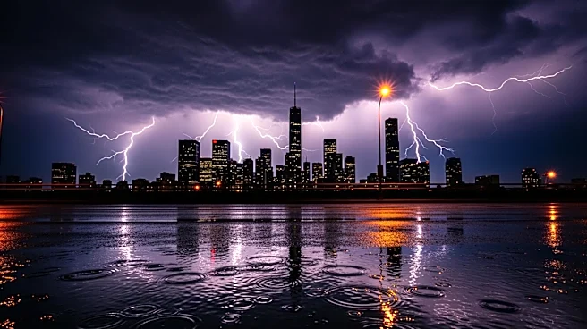
The severe weather forecast for Chicago is significant due to the potential for further flooding in an area already experiencing record rainfall. The storms could exacerbate existing flood conditions, particularly for residents near rivers such as the Rock, Fox, and Des Plaines, which are already at high levels. The impact on infrastructure, property, and daily life could be substantial, with potential disruptions to transportation and increased emergency response needs. The situation underscores the challenges posed by extreme weather patterns, which can strain local resources and require coordinated efforts to mitigate damage and ensure public safety.
What's Next?
Residents in the Chicago area are advised to stay informed about the latest weather updates and prepare for potential flooding. Those living near vulnerable rivers should take precautions to protect their property and ensure personal safety. The National Weather Service will continue to monitor the situation and provide updates as the weather system develops. Local authorities may issue additional warnings or advisories as needed, and emergency services are likely to be on high alert to respond to any incidents resulting from the severe weather.