






What's Happening?
Casper, Wyoming is experiencing a heatwave with temperatures reaching the mid-90s, according to the National Weather Service in Riverton. The weather is expected to remain hot on Monday, with a high near 98 degrees. However, a change is anticipated as cooler
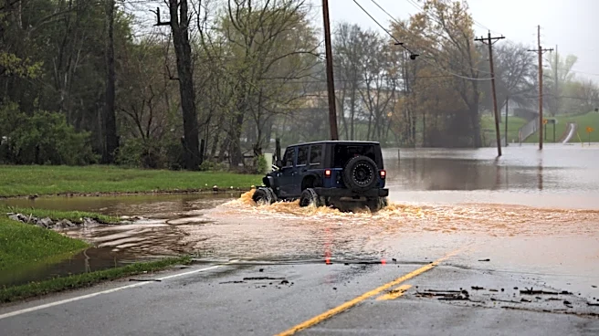
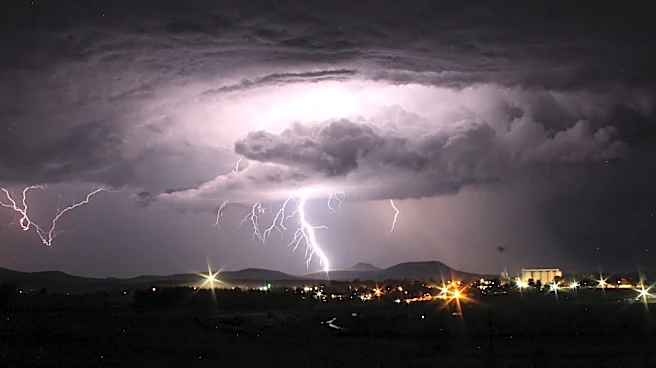
temperatures and increased chances of showers and thunderstorms are forecasted for Tuesday. The likelihood of storms will continue to rise midweek, with scattered to widespread showers and thunderstorms expected on Wednesday and Thursday. These weather changes could bring heavy rainfall and localized flooding, with temperatures dropping to the upper 80s to low 90s. The heat is expected to return by the weekend, with highs climbing back into the 90s.
Why It's Important?
The shift in weather patterns in Casper is significant as it impacts local residents and businesses. The heatwave poses health risks, particularly for vulnerable populations such as the elderly and those with pre-existing health conditions. The anticipated storms and potential for heavy rainfall could lead to localized flooding, affecting transportation and infrastructure. Businesses, especially those in agriculture, may experience disruptions due to the weather changes. The forecasted cooler temperatures and rain could provide relief from the heat, but also require residents to prepare for possible flooding and storm-related issues.
What's Next?
Residents in Casper should prepare for the upcoming weather changes by staying informed through local weather updates. It is advisable to take precautions against the heat, such as staying hydrated and avoiding outdoor activities during peak temperatures. As the week progresses, individuals should be ready for potential storms and flooding by securing outdoor items and ensuring drainage systems are clear. Local authorities may issue further advisories or warnings as the weather situation develops.