





What's Happening?
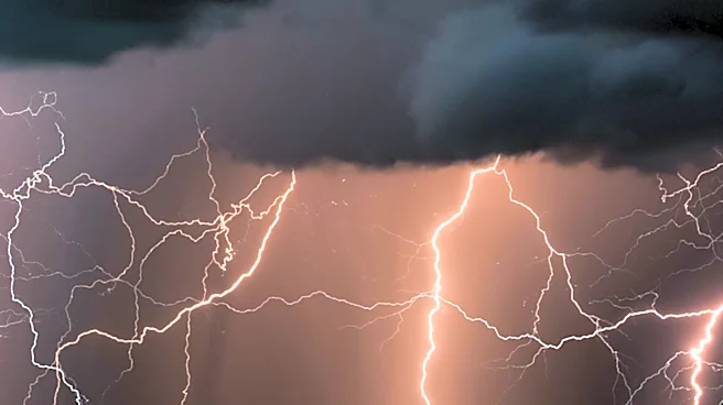
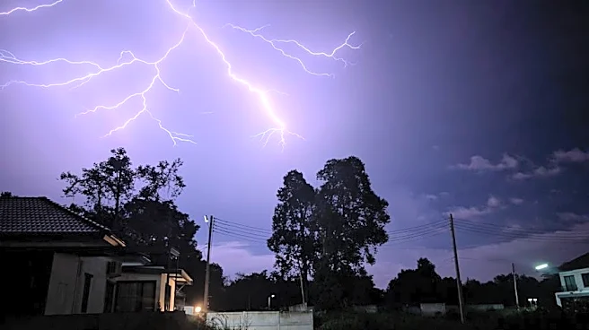
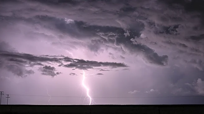
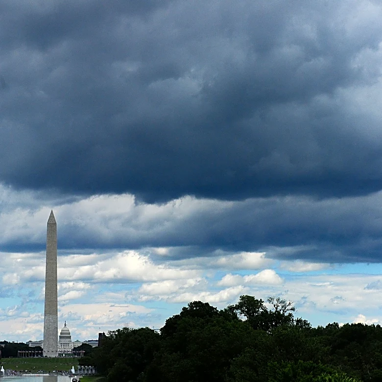
A severe weather alert has been issued for the Washington, D.C. area, with the greatest threat expected between 2 p.m. and 8 p.m. on Tuesday. The Storm Prediction Center has placed the region under a Slight Risk for severe thunderstorms, which could bring
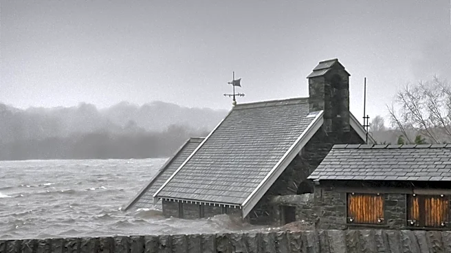
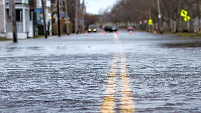
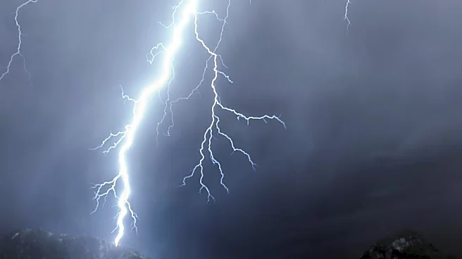
damaging winds, torrential rain, isolated flash flooding, and hail. The weather system is being driven by very warm, humid air and a strengthening storm system from the Great Lakes. Residents are advised to stay weather aware and have multiple ways to receive weather warnings, especially if they plan to be outside or traveling during the afternoon.
Why It's Important?
The severe weather poses significant risks to public safety and infrastructure in the D.C. area. Damaging winds could lead to power outages and property damage, while torrential rains may cause flash flooding, impacting transportation and daily activities. The timing of the storms coincides with the afternoon commute and school activities, potentially leading to travel disruptions. The alert underscores the importance of preparedness and the need for residents to stay informed about weather developments.
What's Next?
Following the passage of the storm system, cooler and less humid air is expected to move into the region by late Tuesday night, bringing a quieter weather pattern for Wednesday. Residents should remain vigilant for any updates or changes in the weather forecast and be prepared for potential impacts on travel and outdoor activities.