


What's Happening?
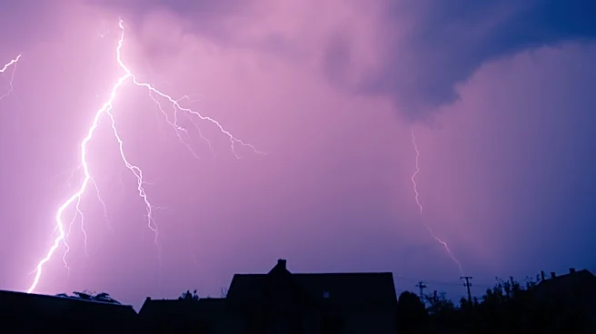
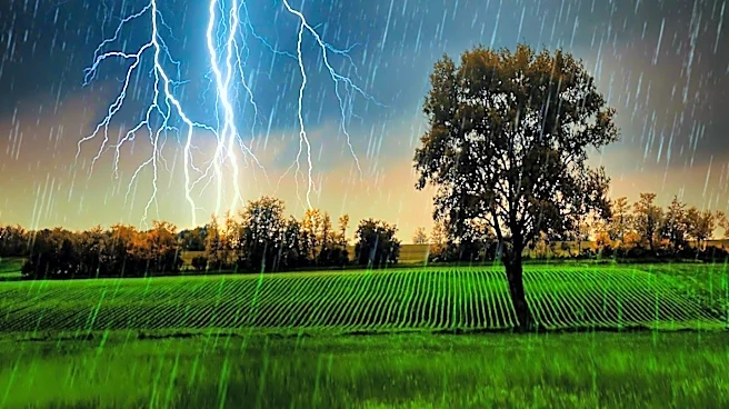
A severe flash flood threat is moving into New England as a powerful summer storm brings torrential rain to the region. The National Weather Service has issued flood watches for over 11 million people from eastern New York to western New England, with
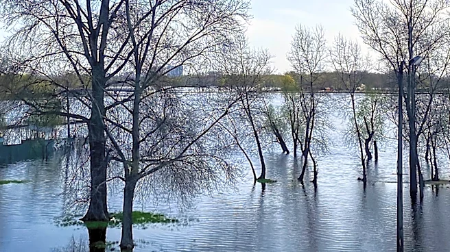
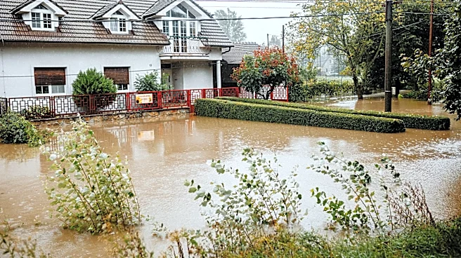
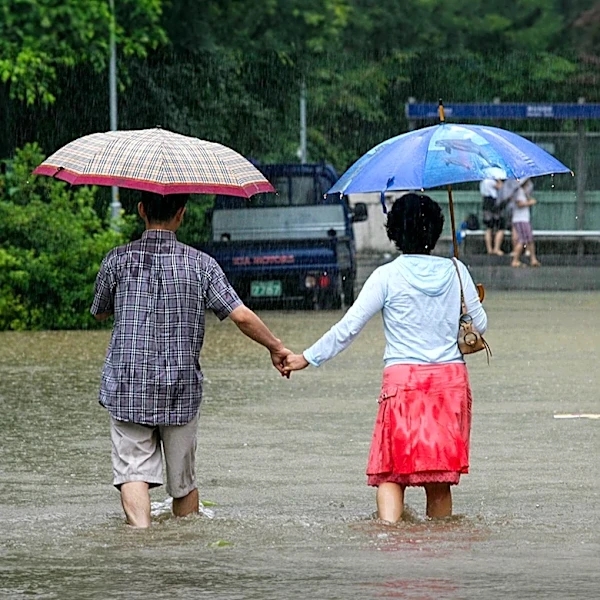
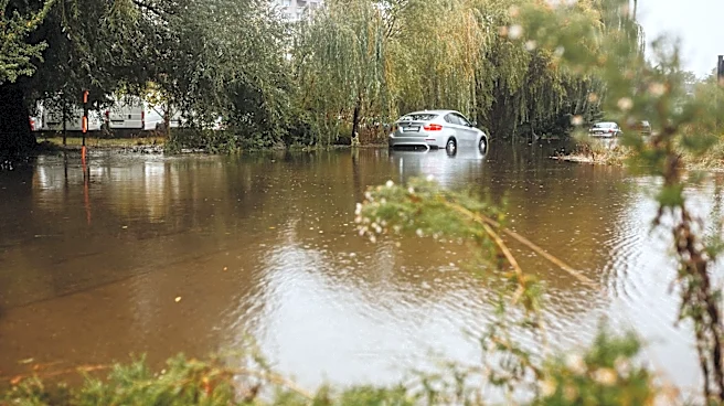
the greatest danger in parts of Massachusetts, Vermont, and Connecticut. The storm, characterized by slow-moving downpours, has already caused significant flooding in New York, New Jersey, and Pennsylvania, leading to water rescues and travel disruptions. The storm is expected to bring an additional 2 to 4 inches of rain across southern New England, with some areas potentially receiving up to 7 inches. The heavy rain is forecasted to continue into Thursday, with the storm gradually weakening by Friday.
Why It's Important?
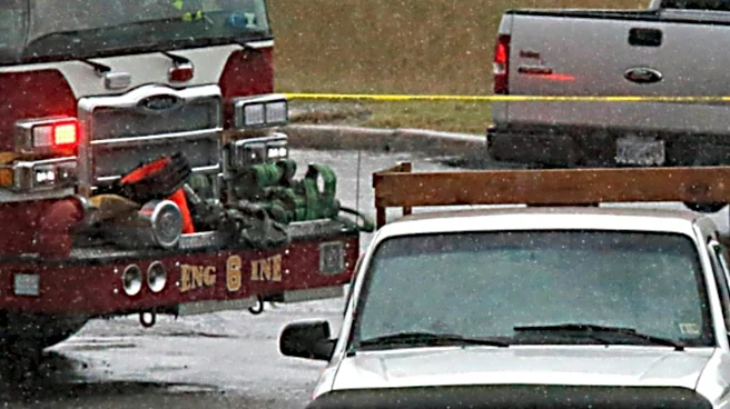
The flash flood threat poses a significant risk to communities in New England, particularly in urban areas where flooding can be especially dangerous. The storm's intensity and the potential for life-threatening flooding highlight the challenges posed by extreme weather events, which are becoming more frequent and severe due to climate change. The impact on transportation, infrastructure, and public safety is considerable, with airports experiencing flight cancellations and delays, and emergency services conducting water rescues. The situation underscores the need for effective disaster preparedness and response strategies to mitigate the effects of such natural disasters.
What's Next?
As the storm continues to move through New England, residents are advised to remain vigilant and heed warnings from local authorities. Emergency services are likely to remain on high alert, ready to respond to any further incidents of flooding or water rescues. The National Weather Service will continue to monitor the storm's progression and update forecasts as necessary. In the longer term, the event may prompt discussions on infrastructure resilience and climate adaptation strategies to better prepare for future extreme weather events.