




What's Happening?
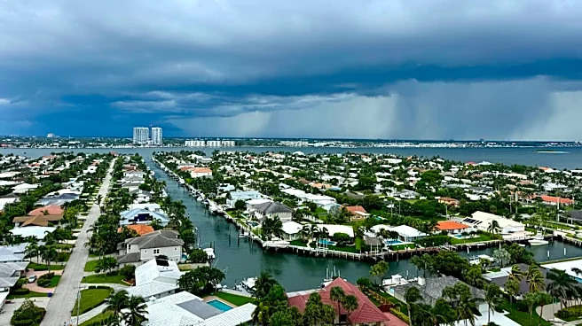
Baton Rouge, Louisiana, is bracing for a return of high humidity and temperatures reaching the mid to upper 90s, making the 'feels like' temperature exceed 105°F. This weather pattern is expected to dominate the first half of the workweek. Scattered showers
and thunderstorms are anticipated on Monday afternoon and evening, potentially offering some temporary relief from the heat. Despite the official start of fall on Tuesday, the region will continue to experience above-normal heat for an extended period. Afternoon highs are projected to remain in the mid to upper 90s throughout much of the upcoming week, significantly exceeding typical temperatures for this time of year. A weak cool front is expected to move through later in the week, which may bring drier air and slightly cooler morning temperatures by the weekend.
Why It's Important?
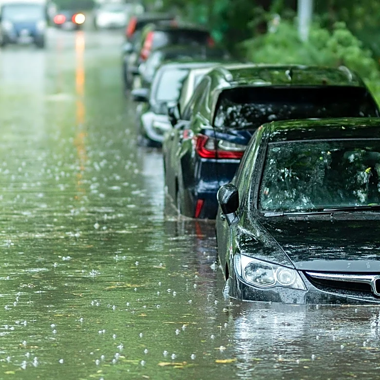
The persistent high heat and humidity in Baton Rouge carry significant public health implications, particularly for vulnerable populations such as the elderly, young children, and individuals with pre-existing health conditions. Elevated 'feels like' temperatures, exceeding 105°F, increase the risk of heat-related illnesses like heat exhaustion and heatstroke, placing additional strain on local emergency services and healthcare facilities. For outdoor workers, this weather necessitates increased precautions, potentially impacting productivity and requiring adjustments to work schedules. The anticipated scattered thunderstorms, while offering some relief, also pose risks of localized flooding and power outages, which can disrupt daily life and business operations. The extended period of above-normal temperatures, even as fall officially begins, highlights broader climate trends and the need for communities to adapt to changing weather patterns, influencing resource allocation for public cooling centers and emergency preparedness.
What's Next?
Residents of Baton Rouge should prepare for continued hot and humid conditions through the early part of the week, with Monday afternoon and evening bringing the possibility of scattered showers and storms. Public health advisories regarding heat safety are likely to remain in effect, urging residents to stay hydrated, seek air-conditioned environments, and avoid strenuous outdoor activities during peak heat hours. Emergency services will be on alert for increased heat-related incidents. Towards the latter half of the week, a weak cool front is expected to introduce drier air, which should help reduce heat index values and bring morning lows into the upper 60s by the weekend. However, afternoon highs are still projected to remain above normal. Local authorities will continue to monitor weather developments and provide updates on any further changes or advisories.
Beyond the Headlines
The prolonged period of above-average temperatures extending into the official start of fall in Baton Rouge underscores the broader challenges posed by climate variability and change. This trend can impact local ecosystems, potentially affecting agriculture and natural habitats. Economically, sustained high temperatures can lead to increased energy consumption for cooling, placing a greater burden on utility grids and potentially increasing household and business expenses. Socially, the need for public cooling centers and community support networks becomes more critical, highlighting disparities in access to resources for heat mitigation. The recurring nature of these extreme weather events may prompt long-term urban planning considerations, such as increasing green spaces, improving infrastructure resilience, and developing more robust public health strategies to cope with a warming climate, influencing policy decisions at local and state levels.