What's Happening?
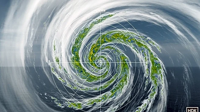
The National Hurricane Center is closely monitoring Tropical Depression Twelve-E, which formed on September 1 and is located approximately 190 miles south-southwest of Manzanilla, Mexico. The depression is expected to strengthen into Tropical Storm Lorena by September 2, with wind speeds nearing hurricane strength by September 3. The storm is projected to weaken as it approaches the Baja California peninsula due to cooler water temperatures and stable air. Meanwhile, a tropical wave in the Atlantic, south of the Cabo Verde Islands, shows potential to develop into a tropical cyclone later in the week. This system could become Tropical Storm Gabrielle, marking the seventh tropical cyclone of the 2025 Atlantic hurricane season.
Why It's Important?
The development of Tropical Depression Twelve-E and the Atlantic wave could have significant implications for regions in Mexico and potentially the U.S. The forecasted path of Twelve-E suggests heavy rainfall and possible flash flooding in northwestern Mexico, affecting areas from Colima to Sinaloa. The potential formation of Tropical Storm Gabrielle in the Atlantic could impact shipping routes and coastal areas, necessitating preparedness measures. Monitoring these systems is crucial for mitigating risks associated with severe weather, including property damage and disruptions to local economies.
What's Next?
Residents in southwestern Mexico and Baja California Sur are advised to monitor updates from the National Hurricane Center, as a Tropical Storm Watch may be issued. The center will continue to track the Atlantic wave's development, providing forecasts and advisories as conditions evolve. Stakeholders, including local governments and emergency services, are expected to prepare for potential impacts, ensuring community safety and readiness.


