


What's Happening?
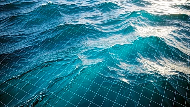
Researchers at the University of California, San Diego, have developed an AI tool called GOFlow that maps ocean currents with unprecedented detail. Using thermal imagery from weather satellites, the AI network tracks surface temperatures to infer ocean currents.
This tool provides insights into how heat, carbon, nutrients, and pollutants move through the ocean. The research, published in Nature Geoscience, demonstrates that GOFlow can observe small, fast-changing ocean currents from space, offering greater detail than traditional methods. The tool's development is part of a broader trend of using AI to enhance data analysis in Earth observation.
Why It's Important?
Understanding ocean currents is crucial for various applications, including weather forecasting, climate research, and environmental management. The ability to map these currents with high precision can improve the accuracy of models used in these fields. GOFlow's detailed mapping capabilities can aid in better predicting climate patterns and managing environmental challenges such as oil spills. The tool's development also highlights the growing role of AI in enhancing scientific research and data analysis, offering new opportunities for innovation and discovery in oceanography and related disciplines.
What's Next?
The researchers plan to address limitations such as cloud cover by incorporating additional satellite data. The GOFlow project is expected to pave the way for more routine use of large remote-sensing datasets combined with machine learning. The public availability of the tool's computer code will facilitate further research and development in this area. As AI continues to advance, its integration into Earth observation and environmental monitoring is likely to expand, offering new insights and solutions to global challenges.