






What's Happening?
The U.S. Geological Survey (USGS) has released Version 2.0 of its Cooperative National Geologic Map, which now includes Alaska, Hawaii, and most U.S. territories. This updated digital map is the first to provide standardized geologic data for all 50 states
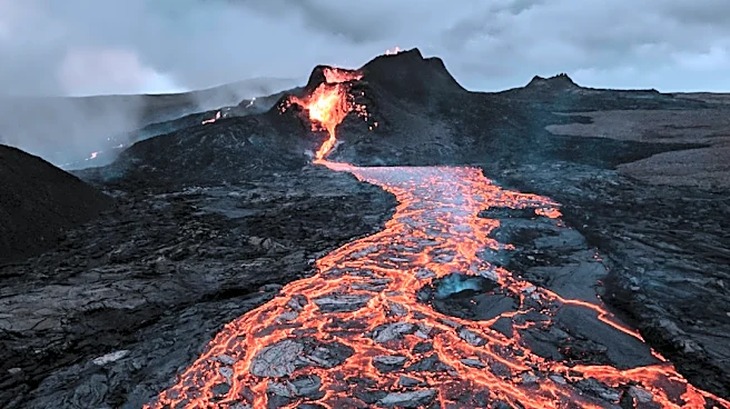
and numerous territories. The map allows users to interact with data to understand the nation's geologic framework, resources, and hazards. Assistant Secretary of the Interior Andrea Travnicek emphasized the importance of mapping for identifying and accessing energy and mineral resources crucial for the American economy, advanced manufacturing, and national defense. The new version incorporates remote and geologically complex regions, such as Alaska, which is now searchable by age, material, and rock type, and Hawaii, with detailed mapping of basalt flows, rift zones, and volcanic hazard areas. U.S. territories, including Puerto Rico, the U.S. Virgin Islands, Guam, parts of the Commonwealth of the Northern Mariana Islands, and American Samoa, are also included for the first time.
Why It's Important?
This expanded geologic map is vital for national resource management and economic independence. By providing comprehensive and standardized data across all states and territories, the USGS enables better identification and access to critical energy and mineral resources. This information is essential for supporting and growing the American economy, fostering advanced manufacturing, and strengthening national defense by reducing reliance on foreign adversaries for minerals. The detailed mapping of regions like Alaska, with its abundant energy and mineral resources, and Hawaii, with its volcanic hazards, offers crucial insights for resource exploration, hazard monitoring, groundwater characterization, and land-use planning. The map's accessibility through an innovative web interface also democratizes access to complex geological data, benefiting a wider range of stakeholders from researchers to the general public.
What's Next?
The USGS plans to continue updating and improving the Cooperative National Geologic Map. Building on the standardized data format (Geologic Map Schema, or GeMS) and partnerships with state geological surveys, future updates will incorporate new mapping data as it becomes available. This model allows for rapid integration of new information, such as the recent inclusion of Wisconsin's geologic map. The USGS National Cooperative Geologic Mapping Program will continue to fund new mapping efforts by states, which will directly feed into subsequent versions of the national map. The interactive web interface will also see further enhancements based on user suggestions, ensuring its continued utility and accessibility for understanding the nation's geological landscape.
Beyond the Headlines
The release of Version 2.0 of the Cooperative National Geologic Map signifies a significant leap in data standardization and accessibility for geological information in the U.S. Beyond its immediate practical applications for resource management and hazard mitigation, this initiative fosters a deeper understanding of the nation's geological heritage. The ability to integrate diverse regional data into a single, coherent digital platform highlights the power of collaborative scientific efforts and technological innovation. This comprehensive mapping effort also underscores a long-term strategic vision for national security and economic resilience, by systematically cataloging and understanding the foundational natural assets of the country. It sets a precedent for how complex scientific data can be made accessible and actionable for both expert and public use, promoting informed decision-making across various sectors.