



What's Happening?
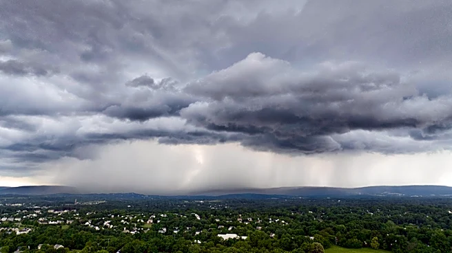
Scattered showers and thunderstorms are anticipated to develop late Tuesday night into Wednesday morning across Southeast Minnesota and Northeast Iowa. A Level 2 risk (slight risk) of severe weather has been issued for the region, with the primary threats
being large hail and gusty winds. The tornado threat is considered low. Heavy downpours are also possible overnight. Storms are expected to move east of I-35 after midnight Wednesday morning, remaining in the region from 1 a.m. until 6 a.m. The latest model trends indicate that the storms will be at their strongest between 2 a.m. and 4 a.m. Skies are predicted to clear quickly throughout Wednesday morning, leading to partly cloudy conditions in the afternoon and evening. Unseasonably warm and humid conditions are expected to persist on Wednesday, with highs in the mid-80s and dew points in the middle to upper 60s.
Why It's Important?
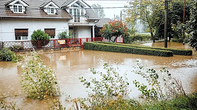
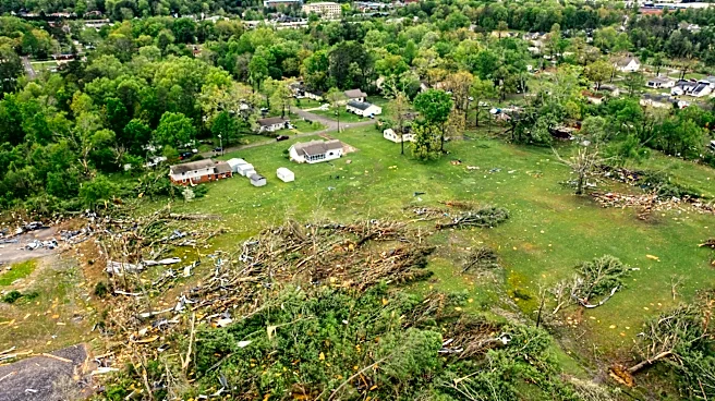
The anticipated severe weather poses immediate risks to residents and infrastructure in Southeast Minnesota and Northeast Iowa. Large hail can cause significant property damage to vehicles and homes, while gusty winds can lead to downed trees, power outages, and hazardous driving conditions. Heavy downpours increase the risk of localized flooding, which can disrupt transportation and potentially damage property. For agricultural communities in these regions, severe storms during this time of year can impact crops, leading to economic losses for farmers. The combination of warm and humid conditions, even after the storms pass, can also contribute to discomfort and potential health issues for vulnerable populations, highlighting the broader impact of weather patterns on daily life and local economies.
What's Next?
Residents in the affected areas should prepare for potential severe weather overnight, including securing loose outdoor items and having a plan in case of power outages. Another round of isolated showers and storms is possible Wednesday night into Thursday morning, with stray storm chances continuing through Friday and Saturday. High temperatures are expected to remain in the mid-80s through the upcoming holiday weekend. By the middle of next week, temperatures are forecast to drop to seasonal averages in the mid-70s. Local authorities and weather services will continue to monitor the situation and issue updates as needed, advising the public on any further severe weather watches or warnings.
Beyond the Headlines
The recurring pattern of severe weather, coupled with unseasonably warm and humid conditions, underscores broader climate trends that could impact regional planning and infrastructure development. Communities may need to consider long-term strategies for mitigating the effects of more frequent or intense storms, such as improving drainage systems, strengthening building codes, and enhancing emergency response capabilities. The economic implications extend beyond immediate damage, potentially affecting insurance rates, agricultural yields, and tourism. Public awareness campaigns about weather preparedness and safety will become increasingly vital to ensure community resilience in the face of evolving weather patterns.