




What's Happening?
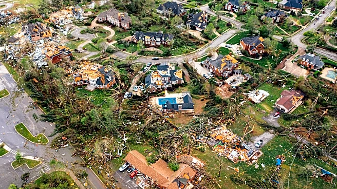
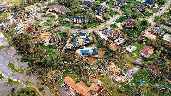
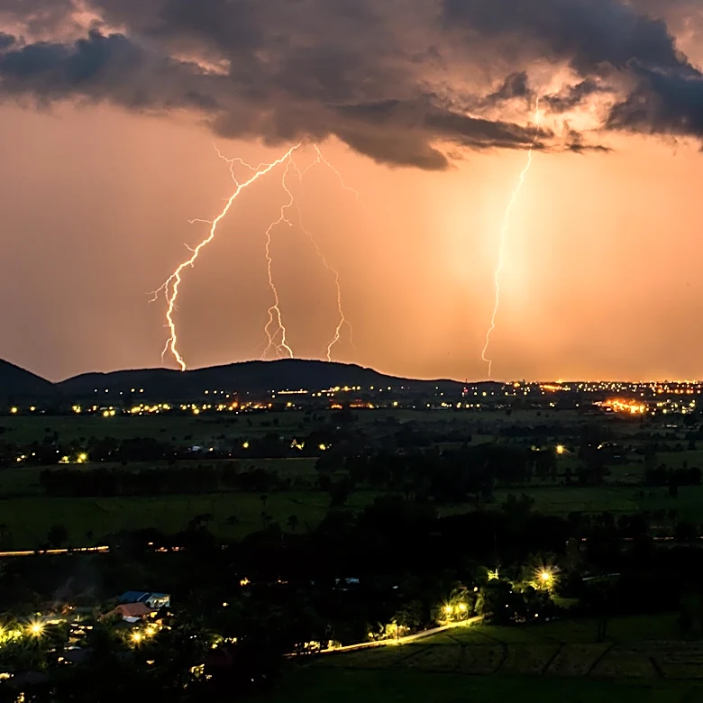
A significant weather system is expected to bring severe thunderstorms and a flash flood threat to parts of the Upper Midwest and Great Lakes region, including major cities from Chicago to Pittsburgh. The FOX Forecast Center reports that a surge of moisture
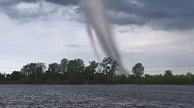
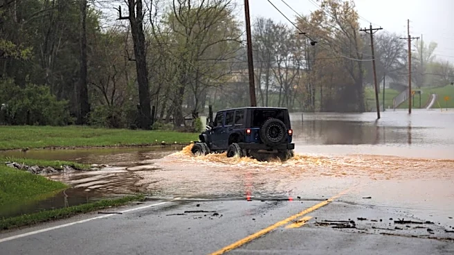
from the Gulf will collide with a developing low-pressure system, leading to organized thunderstorms across northern Illinois, eastern Iowa, and southern Wisconsin. A level 2 out of 5 severe storm threat is in effect, with damaging winds and potential tornadoes as primary concerns. Rainfall totals of 2 to 3 inches are expected, with localized areas receiving up to 5 inches, increasing the risk of flash flooding.
Why It's Important?
This weather event poses a significant risk to millions of residents in the affected areas, particularly in urban centers where flash flooding can cause substantial damage to infrastructure and disrupt daily life. The potential for severe storms and flooding highlights the need for preparedness and timely communication from weather services to ensure public safety. The economic impact could be considerable, affecting transportation, businesses, and emergency services. This situation underscores the importance of robust infrastructure and emergency response systems to mitigate the effects of severe weather.
What's Next?
Residents in the affected areas are advised to stay informed through weather updates and prepare for potential disruptions. Local authorities may issue warnings and advisories as the situation develops. Emergency services will likely be on high alert to respond to any incidents resulting from the severe weather. The ongoing monitoring and forecasting by weather services will be crucial in providing timely information to the public. As the weather system progresses, the focus will be on minimizing damage and ensuring the safety of residents.