




What's Happening?
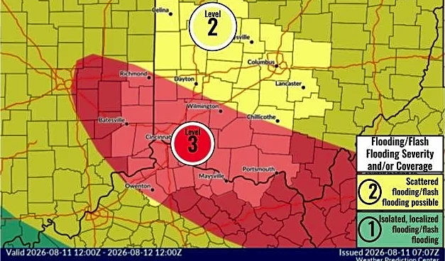
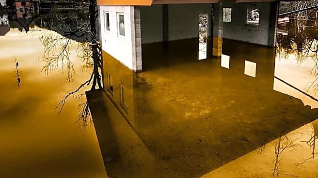
The National Weather Service has issued a flash flood warning for several counties in West Virginia, including Boone, Cabell, Kanawha, Lincoln, Putnam, and Wayne. The warning is in effect through 9:30 p.m. Tuesday, with heavy rainfall expected to impact
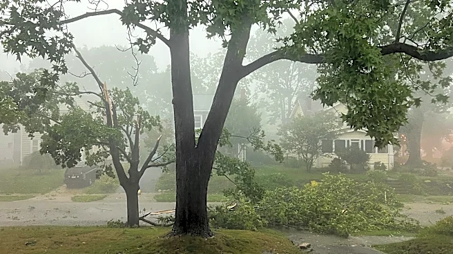
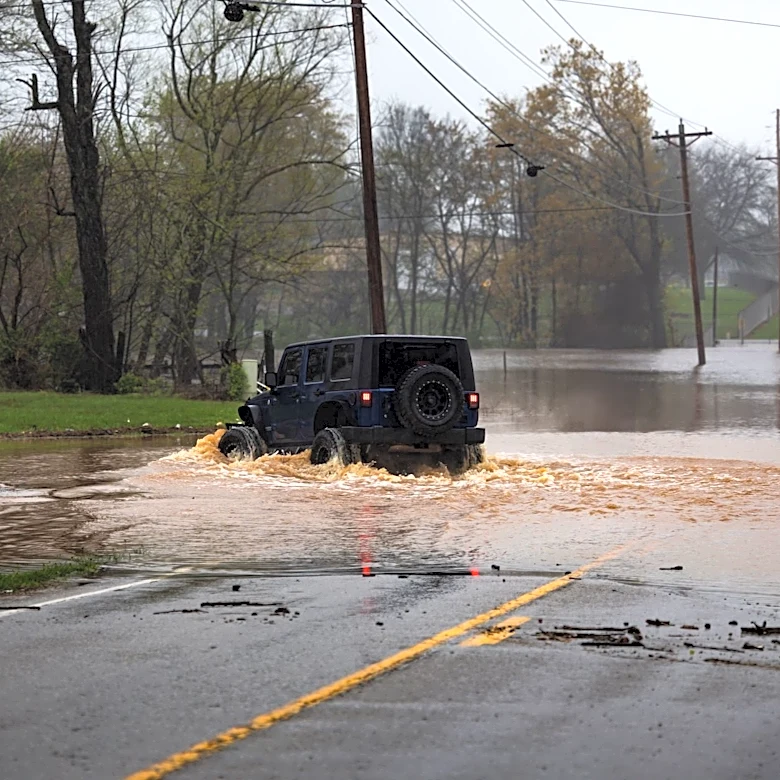
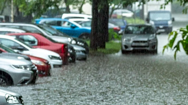
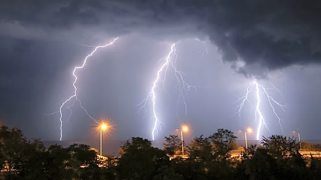
major highways such as Interstate 64, Interstate 77, and the West Virginia Turnpike. Forecasters report that thunderstorms producing heavy rain are active in the area, with up to an inch of rain expected in regions that have already experienced significant rainfall overnight. Residents are advised to stay informed through local weather updates and to exercise caution when traveling in affected areas.
Why It's Important?
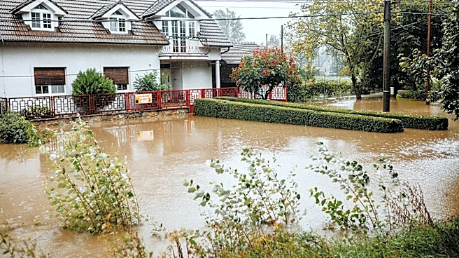
Flash floods pose significant risks to public safety, infrastructure, and property. The warning highlights the potential for hazardous travel conditions and the need for residents to remain vigilant. Flooding can lead to road closures, property damage, and disruptions to daily life. The situation underscores the importance of emergency preparedness and the role of local authorities in providing timely information to the public. The warning also serves as a reminder of the broader impacts of severe weather events, which can strain emergency services and require coordinated response efforts.
What's Next?
Residents in the affected areas should monitor weather updates and follow guidance from local authorities. Emergency services may be deployed to assist with any flood-related incidents, and road closures or detours may be implemented to ensure public safety. The National Weather Service will continue to provide updates as the situation develops, and residents are encouraged to report any flooding or severe weather conditions to local authorities. The event may prompt discussions on improving infrastructure resilience and emergency response capabilities in flood-prone areas.