


What's Happening?
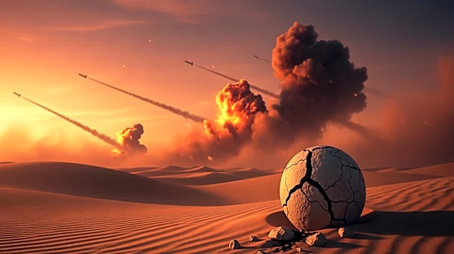
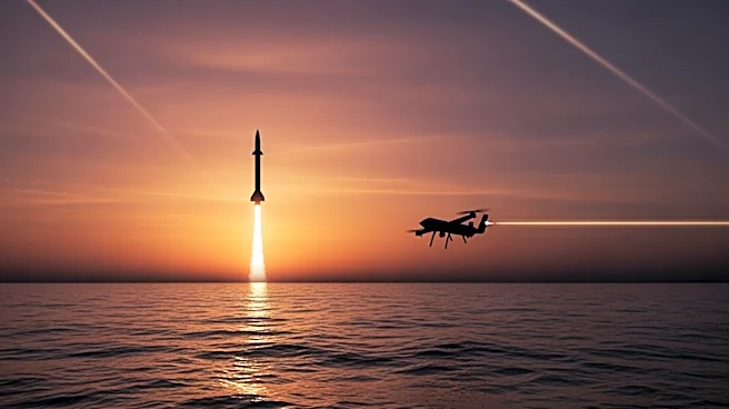
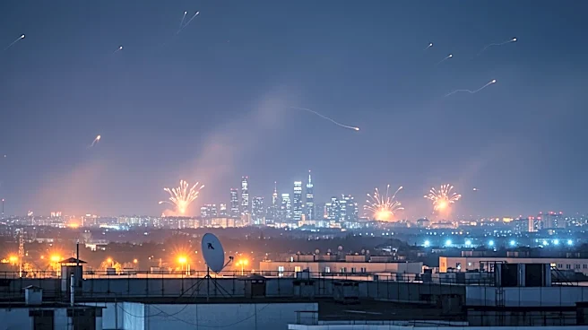
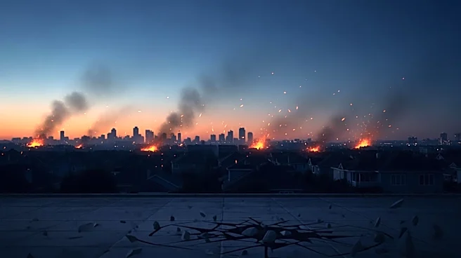
Recent reports have revealed that the United States, Israel, and Iran are engaged in a covert satellite war, utilizing AI-manipulated images to deceive and mislead. A notable incident involved Iran's Tehran Times publishing a doctored satellite image claiming
the destruction of an American radar system, which was later exposed as a fake by intelligence experts. This image was originally from Bahrain and had been altered using AI technology. The manipulation of satellite images is part of a broader strategy by these nations to conduct espionage and psychological operations. The United States and Israel have reportedly used decoys and staged maneuvers to mislead Iranian analysts, while Iran has employed similar tactics to disguise damage from Israeli and American attacks. This development marks a significant shift in the use of satellite imagery, traditionally seen as a reliable source of military intelligence.
Why It's Important?
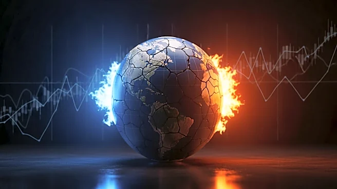
The use of AI to manipulate satellite images has significant implications for global security and intelligence operations. It challenges the reliability of satellite data, which has long been considered a definitive source of information in military and strategic contexts. This shift could lead to increased skepticism and the need for more robust verification processes in intelligence gathering. The democratization of space technology, with private companies now capable of launching satellites, further complicates the landscape, as these entities may be influenced by major geopolitical players. The ability to alter satellite images also poses risks to public perception and market stability, as fake images can be used to create false narratives and influence global events. This development underscores the need for international regulations and oversight to prevent misuse and ensure the integrity of satellite data.
What's Next?
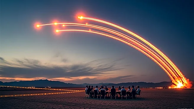
As the manipulation of satellite images becomes more prevalent, it is likely that nations will invest in advanced technologies to detect and counteract such deceptions. Intelligence agencies may develop new protocols for verifying satellite data, potentially involving cross-referencing with other sources of intelligence. The international community may also seek to establish guidelines or agreements to regulate the use of satellite imagery in conflict zones. Additionally, private satellite companies may face increased scrutiny and pressure to ensure their data is not used for deceptive purposes. The ongoing technological arms race in space could lead to further innovations in both offensive and defensive capabilities, as nations strive to maintain an edge in this new domain of warfare.
Beyond the Headlines
The ethical implications of using AI to manipulate satellite images are profound, raising questions about the responsibility of nations and companies in the dissemination of information. The potential for AI-generated forgeries to influence public opinion and policy decisions highlights the need for transparency and accountability in the use of such technologies. This development also reflects broader trends in the use of AI for strategic purposes, as nations increasingly rely on advanced technologies to gain advantages in geopolitical conflicts. The situation underscores the importance of fostering international cooperation to address the challenges posed by AI and ensure its use aligns with ethical standards and global security interests.