




What's Happening?
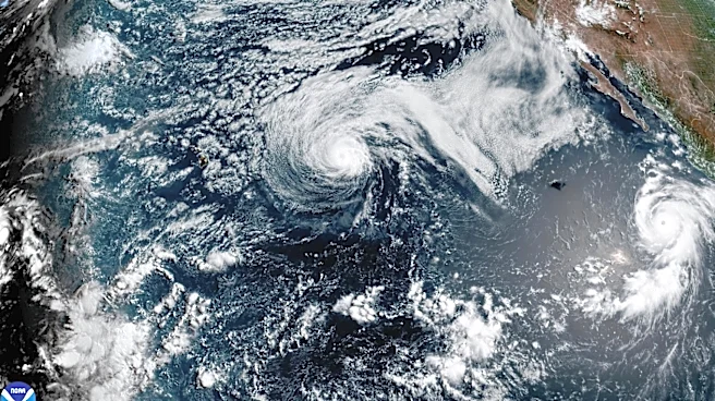
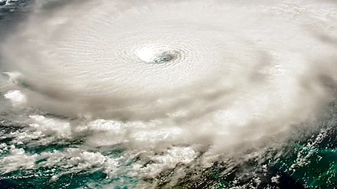
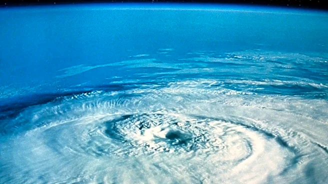
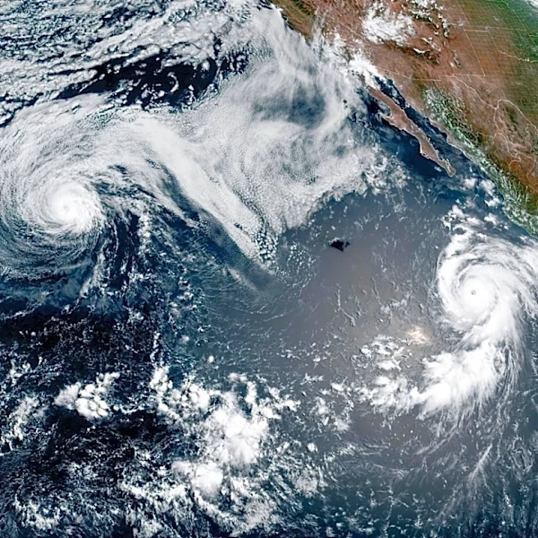
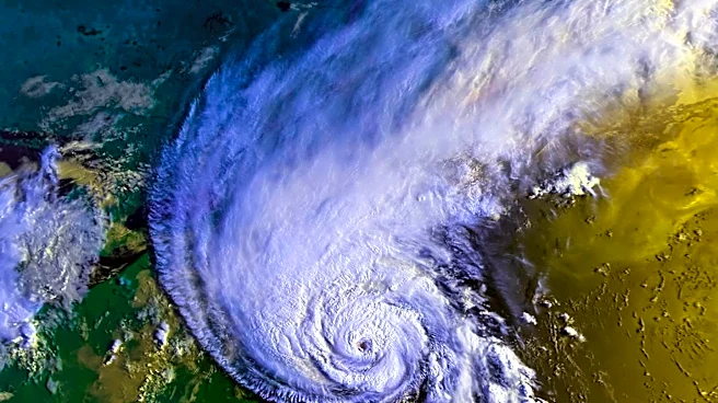
Hurricane Genevieve has intensified to a Category 5 storm, becoming the first of its kind this season in the eastern and central Pacific. The hurricane, with maximum sustained winds of 160 mph, is currently off the coast of Mexico. Meanwhile, Hurricane Fausto
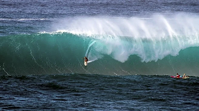
is moving north of Hawaii, with both storms contributing to an active Pacific hurricane season influenced by El Niño conditions. Genevieve is expected to fluctuate in strength due to eyewall replacement cycles but poses no direct threat to land. However, it will generate large swells affecting the west coast of Mexico and California. Fausto, while losing intensity, may bring showers and gusty thunderstorms to Hawaii.
Why It's Important?
The development of Category 5 Hurricane Genevieve underscores the impact of El Niño on the Pacific hurricane season, which is expected to be particularly active. The presence of such powerful storms can have significant implications for coastal regions, including potential disruptions to maritime activities and increased risks for swimmers and small craft. The situation highlights the importance of preparedness and monitoring for communities in the path of these storms. Additionally, the activity in the Pacific serves as a reminder of the broader climatic patterns influencing weather events globally.
What's Next?
As Genevieve continues on its northwest track, it is expected to gradually weaken and become a tropical storm by the end of the week. Coastal areas in Mexico and California should prepare for the impact of large swells and potential hazardous conditions. In Hawaii, residents should remain vigilant for any weather changes as Fausto passes north of the islands. Meteorologists will continue to monitor both storms closely, providing updates and warnings as necessary to ensure public safety.