





What's Happening?
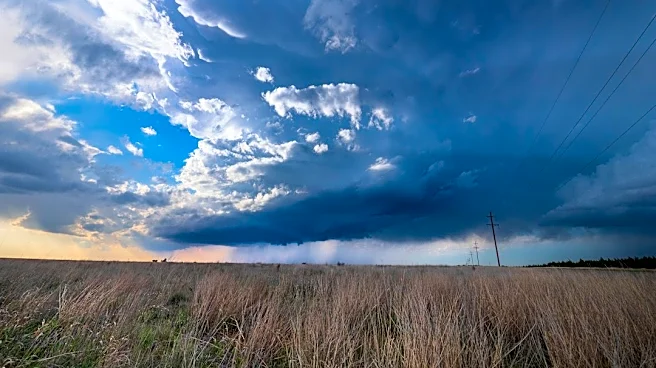
North Texas is preparing for a dramatic shift in weather, with severe storms expected ahead of a strong cold front that will bring a 40-degree temperature drop. Wednesday morning started warm, with temperatures in the 70s and 80s, and feels-like temperatures reaching
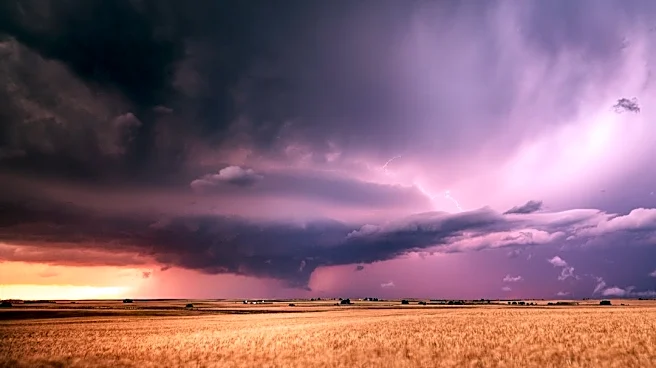
103 degrees in the afternoon. There is a 20% chance of isolated showers and thunderstorms, primarily north and west of the Metroplex. The main event, a strong cold front, is anticipated to move in late Thursday and push south by Friday. Ahead of this front, there is a chance for isolated strong to severe storms tonight, with damaging winds identified as the primary threat. On Thursday, highs will be in the 80s before quickly falling overnight into the low 60s. Friday will see strong winds gusting up to 40 mph and noticeably cooler temperatures, with highs likely staying in the 60s across the area.
Why It's Important?
This significant weather event carries substantial implications for North Texas residents and infrastructure. The threat of severe storms, particularly damaging winds, poses risks to property, power lines, and public safety. Businesses may experience disruptions due to power outages or hazardous travel conditions. The drastic 40-degree temperature drop, combined with strong winds, could create uncomfortable and potentially dangerous conditions for individuals, especially those without adequate heating or shelter. This rapid change in temperature can also impact agriculture, potentially stressing livestock or affecting late-season crops. Emergency services will need to be prepared for increased calls related to storm damage and weather-related incidents. The event highlights the region's vulnerability to sudden and extreme weather shifts, necessitating robust preparedness measures from both public agencies and private citizens.
What's Next?
North Texas residents should prepare for a turbulent weather period beginning tonight and extending through the weekend. The immediate concern is the potential for isolated strong to severe storms tonight, with a focus on damaging winds. Residents in areas north and west of the Metroplex should stay informed about weather alerts and take necessary precautions. As the cold front moves in on Thursday, temperatures will drop significantly, and strong winds will become a major factor on Friday. Individuals should secure loose outdoor items and dress warmly. Temperatures are expected to dip into the 40s on Saturday morning, with highs remaining in the 60s through Saturday afternoon and Sunday morning. By Sunday afternoon, a warming trend will begin, with temperatures returning to the 70s and 80s by next week. Local weather authorities will continue to issue updates and warnings as the situation evolves.
Beyond the Headlines
The rapid and extreme weather fluctuations in North Texas, from feels-like temperatures of 103 degrees to a 40-degree drop and severe storms, underscore the broader challenges of climate variability. Such events can place considerable strain on energy grids, as demand for heating and cooling shifts dramatically within a short period. The frequency and intensity of these weather swings could also influence long-term urban planning and infrastructure development, prompting investments in more resilient systems. Furthermore, the psychological impact of such unpredictable weather on residents, particularly those who have experienced previous severe weather events, should not be overlooked. This situation serves as a reminder of the importance of robust emergency preparedness, community resilience, and continuous public education regarding weather safety in regions prone to dramatic climatic shifts.