


What's Happening?
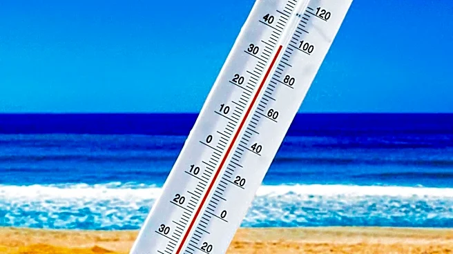
South Central Texas is currently experiencing a persistent and dangerous heat wave, with temperatures consistently reaching and exceeding 100 degrees Fahrenheit. Forecasts indicate that highs will range from 103 to 107 degrees across many areas. An Extreme
Heat Warning is in effect for Travis and Bastrop counties until Monday evening, with heat indices potentially reaching 110 degrees. A Heat Advisory is also in place for Bexar County, including San Antonio, through Wednesday, with temperatures up to 105 degrees. Residents are advised to take significant precautions to avoid heat-related illnesses. The high-pressure system responsible for this heat is expected to keep the region hot and dry through at least Wednesday, with only limited chances of rain. Even if isolated showers occur by Thursday or Friday as the ridge shifts westward, they are unlikely to provide a significant or lasting reprieve from the ongoing heat.
Why It's Important?
This relentless heat wave poses significant public health risks across South Central Texas, potentially leading to increased cases of heat exhaustion and heat stroke. The prolonged exposure to extreme temperatures can strain emergency services and healthcare systems. Economically, outdoor industries, such as construction, agriculture, and tourism, may face disruptions due to the need for workers to take frequent breaks or limit strenuous activities, impacting productivity and revenue. Energy consumption is also likely to surge as residents rely heavily on air conditioning, potentially straining the power grid and leading to higher utility costs. The lack of significant rainfall further exacerbates drought conditions, threatening water resources and agricultural yields in the region. The sustained heat can also negatively affect vulnerable populations, including the elderly, children, and those without adequate access to air conditioning, highlighting social equity concerns.
What's Next?
The high-pressure system is expected to maintain its grip on South Central Texas through at least Wednesday, meaning residents should anticipate continued 100-degree-plus temperatures and minimal rain chances. Authorities will likely continue to issue heat advisories and warnings, urging the public to stay hydrated, seek air-conditioned environments, and limit outdoor activities, especially during peak heat hours. Emergency services and public health officials will remain on high alert to respond to heat-related incidents. While there is a slight possibility of isolated showers or thunderstorms by Thursday or Friday as the upper-level ridge shifts towards Arizona, these are not expected to offer a substantial or long-term break from the heat. Therefore, the region must prepare for an extended period of extreme heat, with ongoing efforts to mitigate its health and economic impacts.
Beyond the Headlines
The persistent extreme heat in South Central Texas underscores broader concerns about climate change and its localized impacts, particularly in regions prone to high temperatures. This event highlights the increasing frequency and intensity of heat waves, which can have long-term consequences for urban planning, infrastructure development, and public health strategies. Cities may need to invest more in heat-mitigation measures, such as urban greening, cool pavements, and public cooling centers, to protect residents. The strain on the power grid during such events also brings into focus the need for resilient energy systems and potentially a shift towards renewable energy sources to reduce reliance on traditional grids that can be vulnerable to extreme weather. Furthermore, the disproportionate impact on low-income communities and outdoor workers raises ethical questions about equitable access to resources and protections in the face of environmental challenges, prompting discussions on social justice and climate adaptation policies.