





What's Happening?
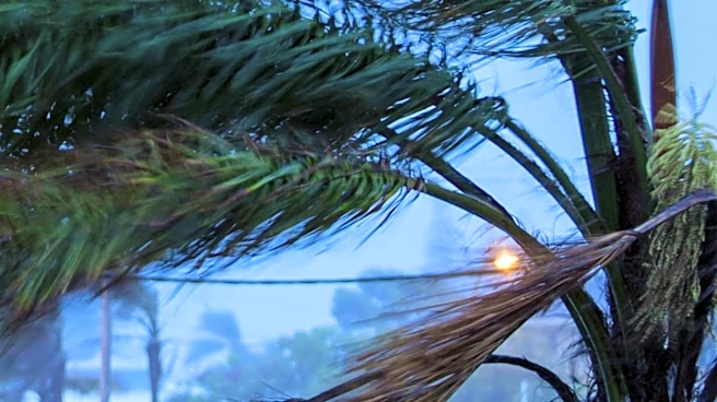
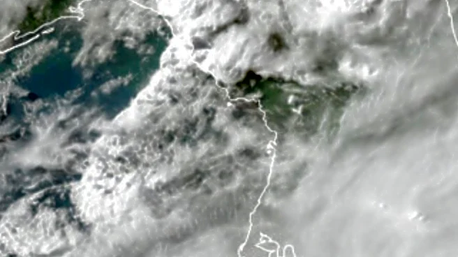
South Florida is bracing for a significant shift in weather patterns, with an increase in downpours and thunderstorms expected from Saturday through early next week. The change is attributed to an upper-level trough strengthening over the eastern United
States and a deep stream of tropical moisture setting up over the southern part of the state. This shift will lead to more frequent storms, particularly along the East Coast metro area, raising the risk of urban flooding due to repeated rain over the same areas. The National Weather Service has issued advisories to alert residents of potential flooding and travel delays.
Why It's Important?
The anticipated weather change is crucial as it may alleviate drought conditions in South Florida, but it also poses a risk of urban flooding, which can disrupt daily life and cause property damage. The increased rainfall could impact transportation, with reduced visibility and travel delays expected during heavy downpours. Local authorities are preparing for the possibility of temporarily flooded streets and standing water in areas with poor drainage. The situation underscores the need for effective urban planning and infrastructure to manage such weather events.
What's Next?
The wetter pattern is expected to persist through the middle of next week, after which rain chances may gradually decrease. Residents are advised to stay informed through local weather updates and take necessary precautions to protect themselves and their property. Authorities will continue to monitor the situation and provide support where needed, including potential evacuation orders if conditions worsen.