






What's Happening?
East Tennessee is currently under an extended Heat Advisory until 8 PM Monday evening, with temperatures expected to reach the mid-90s and 'feels like' temperatures between 100-105 degrees Fahrenheit. Concurrently, the Storm Prediction Center has upgraded
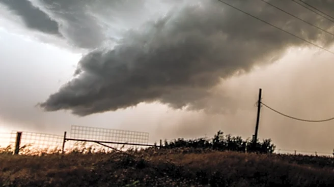
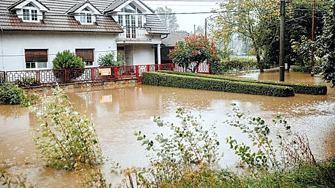
East Tennessee to a Level 2 out of 5 Slight Risk for severe weather on Monday afternoon and evening. A weak summertime cold front is anticipated to move through the region, bringing scattered thunderstorms between 3 PM and 10 PM. The primary concerns associated with these storms are damaging winds and localized flooding. While the threat of hail and tornadoes is considered low, it is not entirely absent. Looking ahead, Tuesday is expected to bring slightly lower humidity and high temperatures in the low 90s with mostly clear skies as the cold front passes. Rain chances are projected to remain low on Wednesday but will gradually increase towards the end of the week, with high temperatures persisting in the low 90s.
Why It's Important?
The combination of an extended Heat Advisory and a severe storm threat poses significant risks to public health and safety in East Tennessee. High 'feels like' temperatures can lead to heat-related illnesses such as heat exhaustion and heatstroke, particularly for vulnerable populations, outdoor workers, and those without access to air conditioning. The potential for damaging winds from scattered thunderstorms could result in power outages, property damage, and hazardous driving conditions. Localized flooding, another threat, can disrupt transportation, damage infrastructure, and create dangerous situations for residents. The issuance of a Level 2 Slight Risk by the Storm Prediction Center indicates that conditions are favorable for organized severe thunderstorms, necessitating heightened awareness and preparedness among residents and emergency services. This weather pattern underscores the importance of staying informed through local weather alerts and taking necessary precautions to mitigate risks.
What's Next?
Residents of East Tennessee are advised to remain vigilant throughout Monday, particularly during the afternoon and evening hours when thunderstorms are most likely. It is crucial to stay hydrated, limit outdoor activities during peak heat, and seek shelter immediately if severe weather warnings are issued. Local authorities and utility companies will be monitoring conditions closely to respond to any power outages or flooding incidents. As the cold front moves through, a temporary reprieve from the extreme heat is expected on Tuesday, offering slightly more comfortable conditions. However, the forecast indicates that high temperatures in the low 90s will return later in the week, suggesting that heat-related precautions will remain relevant. Emergency services will continue to provide updates and guidance, and residents are encouraged to download weather alert apps for real-time information.
Beyond the Headlines
This weather event highlights the broader challenges posed by extreme weather patterns, which can strain local infrastructure and emergency response systems. The recurring nature of high heat and severe storms in the region emphasizes the need for robust community preparedness plans, including public cooling centers and effective communication strategies for weather alerts. For businesses, particularly those reliant on outdoor operations or sensitive to power disruptions, these conditions can lead to operational challenges and economic losses. The event also serves as a reminder of the importance of personal preparedness, such as having emergency kits and communication plans in place. The ongoing monitoring by the Storm Prediction Center and local meteorologists underscores the scientific efforts to forecast and mitigate the impacts of increasingly variable weather phenomena.