



What's Happening?
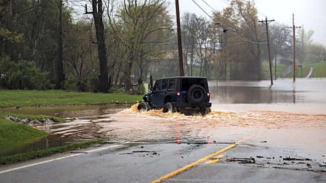
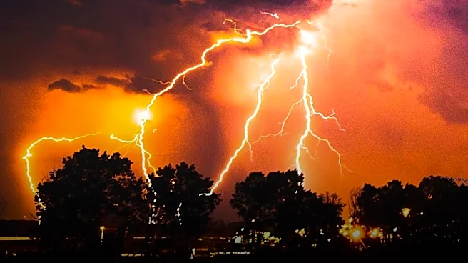
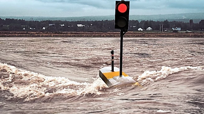
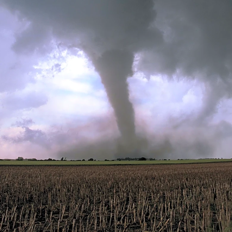
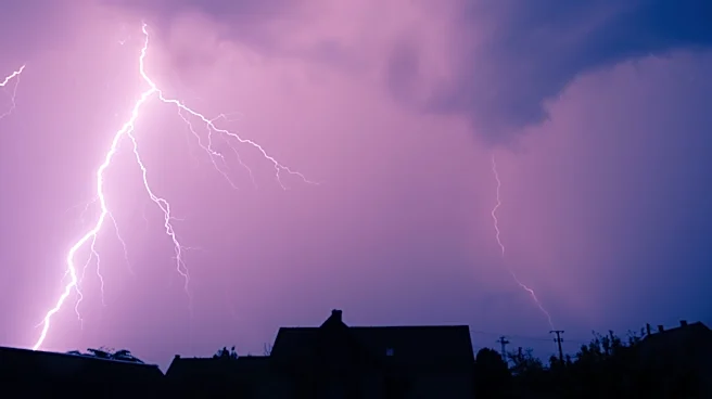
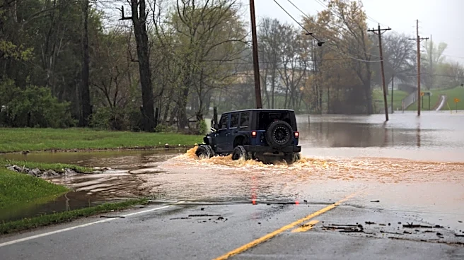
The Philadelphia region is under tornado and flood watches as multiple rounds of showers and thunderstorms are expected to hit the area. The National Weather Service has issued alerts for potential flash flooding and damaging wind gusts, with a tornado watch in effect
until 10 p.m. for parts of Delaware, New Jersey, and Pennsylvania. The storms could bring 2-3 inches of rainfall in a short period, leading to localized flooding and travel disruptions. Residents are advised to prepare for power outages and plan indoor activities.
Why It's Important?
The severe weather poses significant risks to public safety and infrastructure in the Philadelphia area. Flash flooding can lead to road closures and property damage, while strong winds and potential tornadoes threaten to disrupt power supplies and cause structural damage. The economic impact could be substantial, affecting businesses and daily commutes. The situation highlights the need for effective emergency management and public awareness to mitigate the effects of such weather events.
What's Next?
As the storm system moves through the region, the overall threat of severe weather is expected to decrease by Wednesday. However, high humidity and unsettled weather will persist, with the potential for additional storms later in the week. Local authorities and emergency services will continue to monitor the situation and provide updates. Residents are encouraged to stay informed through weather alerts and take necessary precautions to ensure their safety.