


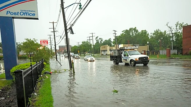
What's Happening?
The National Weather Service (NWS) Sterling has released a preliminary post-storm survey indicating that winds reached speeds of 90 mph during a severe thunderstorm that impacted Albemarle County and Charlottesville, Virginia, on Friday. The storm rapidly
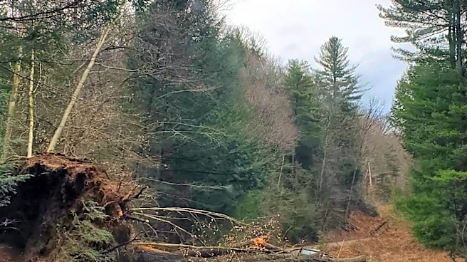
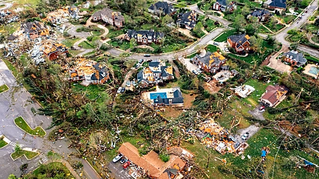
intensified into a supercell thunderstorm over southeastern Rockingham County before weakening as it approached Charlottesville, only to strengthen again as it moved across the north side of the city. The damaging straight-line winds and large hail, measuring 2 to 2.5 inches in diameter, occurred between 5:33 and 5:42 p.m. over approximately a three-square-mile area. Ground and drone photos confirmed that the damage was consistent with a straight-line wind event, showing damage primarily in the southeast direction, though lacking true linear continuity and appearing in several north-to-south swaths. The NWS will deploy investigators to the area early in the week to conduct a first-hand survey of the damage. Local emergency management agencies, including Albemarle County Department of Emergency Management, City of Charlottesville Emergency Management, and the University of Virginia, along with social media reports and local broadcast meteorologists, provided crucial information for this preliminary survey.
Why It's Important?
This event underscores the significant and localized impact that severe weather can have on communities, even within a short timeframe. The 90 mph wind speeds are indicative of a powerful storm capable of causing widespread damage to infrastructure, homes, and natural environments. For residents, this means potential property loss, disruption of daily life, and safety concerns. For local governments and emergency services, it highlights the critical need for robust disaster preparedness, rapid response capabilities, and effective damage assessment protocols. The collaboration between the NWS and local emergency management, along with public reporting, is vital for understanding the full scope of the storm's impact and for guiding recovery efforts. The incident also serves as a reminder of the importance of community resilience and the role of public engagement in reporting damage to aid official assessments, which can inform future mitigation strategies and resource allocation for disaster relief.
What's Next?
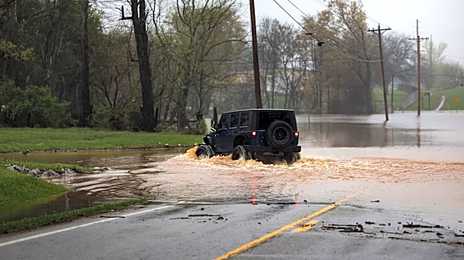
NWS investigators are scheduled to be in the affected area early in the week to conduct on-site damage assessments. Albemarle County residents are being urged to report non-emergency damage to the county’s Office of Emergency Management, which will help compile a comprehensive understanding of the storm's impact and relay this information to the NWS. This reporting process is crucial for documenting the full extent of the damage, which can influence potential federal aid and local recovery plans. The types of damage residents are encouraged to report include large trees or limbs that are snapped or uprooted, structural damage to roofs, siding, windows, or garages, vehicles damaged by debris or hail, flooding that enters structures or covers roadways, and significant damage to outbuildings. Emergency situations, such as collapsing buildings or downed utility lines, should continue to be reported immediately by calling 911. The findings from the NWS investigation and the compiled damage reports will inform subsequent steps for recovery and rebuilding efforts in the affected regions.