
What's Happening?
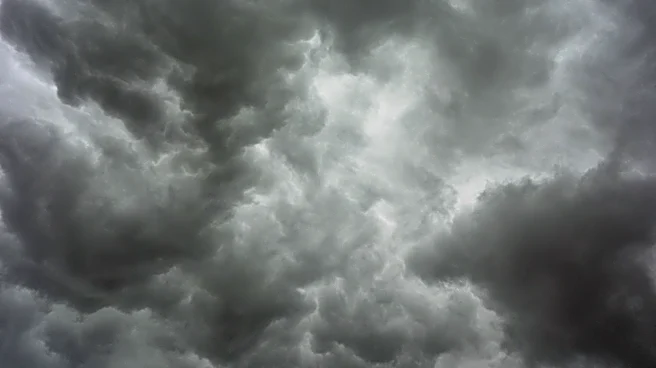
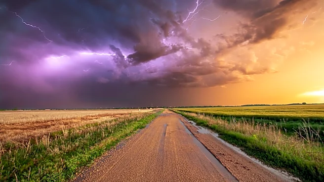
The Chicago area has been upgraded to an 'enhanced' risk of severe thunderstorms, with the potential for dangerous wind gusts and heavy rain. The Storm Prediction Center has issued this alert, indicating
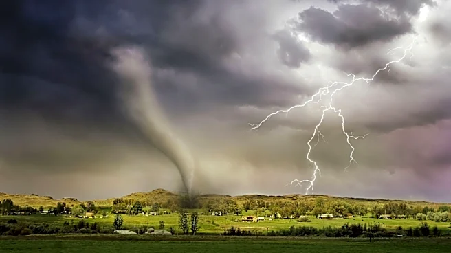
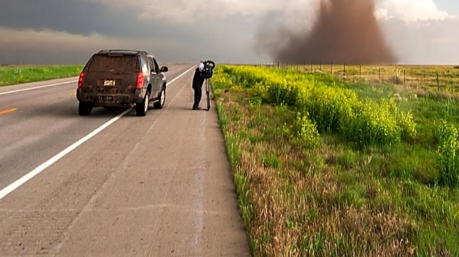
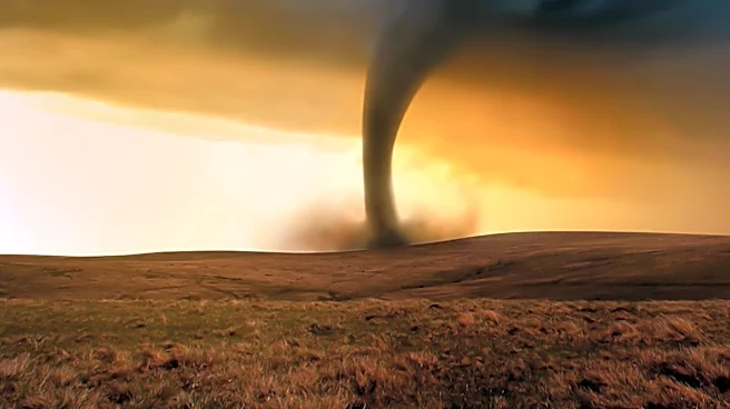
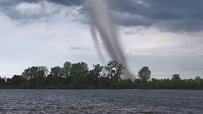
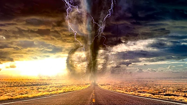
a significant likelihood of severe weather. Wind gusts could exceed 80 mph, and there is a risk of localized flooding due to heavy rainfall. The storms are expected to develop quickly with daytime heating and could impact the area between 9 a.m. and 3 p.m. The National Weather Service warns of the possibility of tornadoes and advises residents to stay informed and take precautions.
Why It's Important?
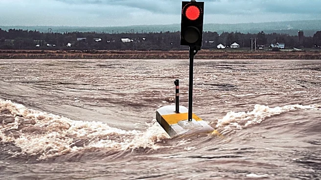
The severe weather poses a significant threat to public safety and infrastructure in the Chicago area. High winds and potential tornadoes can cause widespread damage, power outages, and disrupt transportation. The heavy rainfall increases the risk of flooding, particularly in areas already affected by previous storms. This weather event highlights the increasing frequency and intensity of severe weather patterns, which can have long-term economic impacts on the region. Emergency services and local authorities are on high alert to respond to any incidents, and residents are urged to take necessary precautions.
What's Next?
As the storms progress, the National Weather Service will continue to monitor and update warnings as necessary. Residents should remain vigilant and prepared for potential power outages and flooding. The weather pattern suggests a continuation of stormy conditions throughout the week, with another round of severe weather possible on Wednesday. Local authorities and emergency services are likely to conduct damage assessments and coordinate recovery efforts in the aftermath of the storms.