


What's Happening?
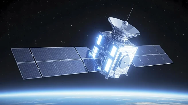
NASA has launched the Sentinel-6B satellite on November 16, 2025, continuing a long-standing mission to measure global ocean heights. This satellite is part of a collaborative effort involving NASA, the European Space Agency, and other international partners.
Sentinel-6B is equipped with advanced instruments like a radar altimeter and an Advanced Microwave Radiometer to measure sea surface height and water vapor, respectively. These tools allow for precise monitoring of ocean levels, which have risen by more than 10 cm since the early 1990s due to heat expansion and melting ice. The mission extends a nearly 40-year record of sea level measurements, crucial for understanding climate change impacts.
Why It's Important?
The launch of Sentinel-6B is significant for climate science and policy-making. By providing precise data on sea level changes, the satellite helps scientists track ocean temperature variations and currents, which are critical indicators of climate change. This information is vital for local and state governments to make informed decisions about coastal infrastructure and to prepare for climate-related events like El Niño. The data also supports improved forecasts of storm intensity and ocean circulation, aiding in disaster preparedness and response. The mission exemplifies successful international cooperation in addressing global environmental challenges.
What's Next?
Sentinel-6B will continue to provide valuable data for the scientific community and policymakers well into the 2030s. The satellite's observations will serve as an early warning system for large-scale climate phenomena and help improve weather forecasts. As the mission progresses, it is expected to enhance our understanding of Earth's oceans and contribute to global efforts in climate change mitigation and adaptation. The ongoing collaboration among international space agencies ensures that the insights gained from Sentinel-6B will be widely accessible and utilized for various applications.