




What's Happening?
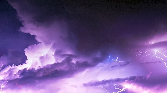
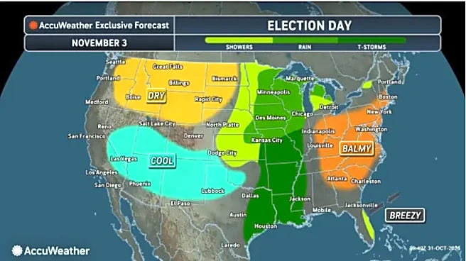
A cold front is on track to move through Southeast Texas on Tuesday, bringing scattered to numerous showers and thunderstorms. According to the National Weather Service Houston/Galveston, a Marginal Risk (Level 1 of 5) is in place for severe storms and excessive
rainfall (Level 1 of 4) across portions of the region. The estimated time of arrival for the front varies, reaching the Brazos Valley between 6-9 AM, the Piney Woods between 8-10 AM, the Houston metro area between 10 AM-1 PM, and the Bays and Gulf waters between 1-4 PM. Potential hazards include strong wind gusts, isolated tornadoes, and locally heavy rainfall, with the greatest risks concentrated east of I-45. Atmospheric conditions are favorable for a broken line of rain showers and scattered thunderstorms to develop along the cold front as it reaches northwest Texas, spreading southeastward.
Why It's Important?
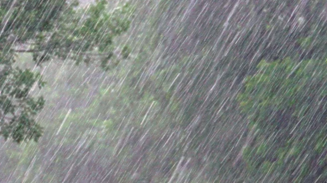
This weather event is important for residents and businesses in Southeast Texas due to the potential for localized severe impacts. While the risk level is marginal, the possibility of strong wind gusts and isolated tornadoes can lead to property damage, power outages, and pose a threat to personal safety. Locally heavy rainfall could result in flash flooding, disrupting transportation, and potentially causing damage to infrastructure and homes. The timing of the front's arrival during morning and midday hours means that commuters and daily activities could be significantly affected. For agricultural sectors, heavy rain could be beneficial in some areas but detrimental in others, depending on soil saturation and crop types. The event underscores the need for residents to stay informed about weather alerts and take necessary precautions to mitigate risks.
What's Next?
Drier and cooler conditions are expected to follow the frontal passage across Southeast Texas. However, the next chance for showers and storms is anticipated to return on Thursday as a coastal trough moves through the region. Below-normal temperatures are forecast from Friday into the weekend, with highs in the 70s and overnight lows ranging from the mid-40s in northern counties to the low 60s along the coast. Residents should continue to monitor local weather forecasts for updates, especially concerning the potential for renewed rain chances later in the week. Preparedness for potential isolated severe weather, including having a plan for strong winds and heavy rain, remains crucial for those in the affected areas.
Beyond the Headlines
The consistent pattern of cold fronts bringing severe weather to Texas highlights the dynamic meteorological conditions in the region. This event, while localized in its severe risk, contributes to the broader understanding of how weather systems interact with geographical features to produce specific hazards. The emphasis on 'isolated' tornadoes and 'locally heavy rainfall' points to the challenge of precise forecasting and the need for community-level preparedness, as impacts can vary significantly even within a small area. This ongoing cycle of weather events also has long-term implications for urban planning, infrastructure development, and water management strategies in a rapidly growing state like Texas, where both drought and flood risks are prevalent. The continuous need for public alerts and safety measures reinforces the importance of accessible and reliable weather information for all residents.