


What's Happening?
Forecasters are predicting the development of a 'super' El Niño event in the coming months, which could significantly impact weather patterns in the United States. El Niño, characterized by the warming of Pacific Ocean waters, is part of the El Niño-Southern
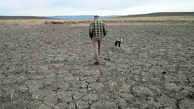
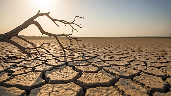
Oscillation, a major driver of global weather. The National Oceanic and Atmospheric Administration's (NOAA) Climate Prediction Center has indicated a 61 percent chance of El Niño emerging between May and July, potentially continuing through late 2026. This event could lead to increased rainfall in the Midwest and parts of the West, while the Gulf Coast to the East Coast may experience extended dry periods interspersed with heavy rain. The phenomenon is also expected to influence the Atlantic hurricane season, typically reducing the number of tropical storms and hurricanes in the western Atlantic Ocean Basin.
Why It's Important?
The potential 'super' El Niño could have significant implications for various sectors in the U.S., including agriculture, water management, and disaster preparedness. Increased rainfall in the Midwest could benefit agricultural regions by reducing drought risk, particularly in the Corn Belt. However, the possibility of heavy downpours could also lead to flooding, impacting infrastructure and communities. The reduction in hurricane activity in the Atlantic could decrease the risk of storm-related damage along the eastern seaboard, potentially lowering insurance costs and economic disruptions. Conversely, the increased risk of heatwaves in the southern U.S. and the Pacific Northwest could strain energy resources and public health systems, necessitating proactive measures to mitigate these impacts.
What's Next?
As the El Niño event develops, meteorologists and climate scientists will continue to monitor its progression and refine forecasts. Stakeholders, including government agencies, farmers, and emergency management officials, will need to prepare for potential weather extremes. This preparation may involve updating infrastructure, adjusting agricultural practices, and enhancing emergency response plans. The uncertainty inherent in long-range weather forecasting, particularly during the 'spring predictability barrier,' means that predictions will become more reliable as the event unfolds, likely providing clearer insights by late May or June.