




What's Happening?
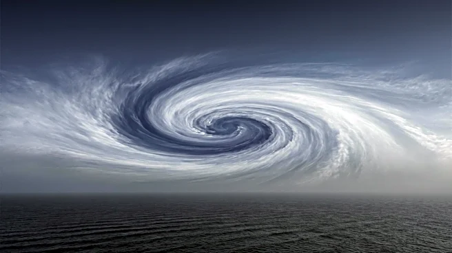
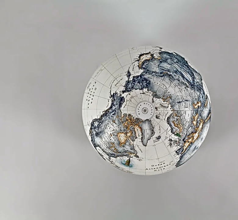
The Polar Vortex has experienced its earliest disruption on record for a calendar year, according to analysis from the FOX Forecast Center. This disruption involves a weakening, displacement, or splitting of the strong winds circling the North Pole, which
can alter atmospheric circulation and potentially lead to Arctic air spilling southward. However, this early disruption does not immediately translate to colder temperatures across North America. Forecast models indicate that any potential cold-weather impacts would likely take several weeks to develop, with late November or December being the earliest. Currently, the coldest air is pooling over Eastern Europe and Siberia, while North America is experiencing much warmer-than-average conditions. This pattern is largely influenced by a rapidly strengthening El Niño climate pattern, with a 'Super El Niño' expected to be declared later this year.
Why It's Important?
The early disruption of the Polar Vortex, coupled with the strengthening El Niño, has significant implications for U.S. weather patterns, particularly for the upcoming winter season. The El Niño phenomenon is already strengthening the Pacific jet stream, bringing mild air and more storms across the country. This pattern is expected to support above-average temperatures and hinder the prolonged settlement of colder air. The Climate Prediction Center's long-range forecasts align with this, predicting above-average temperatures across much of the northern United States, including the Pacific Northwest, Northern Plains, Upper Midwest, Great Lakes, and Northeast, through December. This could lead to a milder-than-average November and early winter, impacting energy consumption, winter sports industries, and agricultural planning in these regions.
What's Next?
While the Polar Vortex disruption has occurred, its effects on surface temperatures are not immediate. It typically takes several weeks for stratospheric changes to influence the jet stream and broader weather patterns. Therefore, any potential cold-weather impacts across North America are more likely to manifest in late November or December. The ongoing strengthening of the El Niño climate pattern will continue to be a dominant factor, reinforcing the trend of above-average temperatures across the northern U.S. through early winter. Weather models will continue to be monitored for any shifts, but the current outlook suggests a continuation of milder conditions, limiting the chances for a prolonged stretch of Arctic air across the U.S. in the immediate future.
Beyond the Headlines
The interplay between the Polar Vortex disruption and the strengthening El Niño highlights the complex and interconnected nature of global climate systems. While a disrupted Polar Vortex can sometimes lead to colder outbreaks, the powerful influence of El Niño in this instance appears to be overriding that potential, leading to a milder forecast for much of the U.S. This situation underscores the importance of understanding multiple atmospheric phenomena when predicting seasonal weather. The declaration of a 'Super El Niño' could also have broader economic and environmental ripple effects beyond just temperature, potentially influencing precipitation patterns, drought conditions, and even global commodity markets, though these specific impacts are not detailed in the current forecast.