


What's Happening?
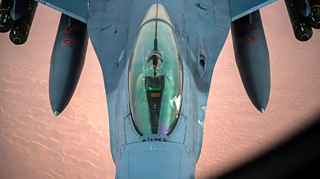
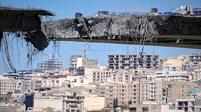
Planet Labs, a California-based satellite imaging company, has announced it will indefinitely withhold images of Iran and the Middle East conflict region. This decision follows a request from the U.S. government, aiming to prevent adversaries from using
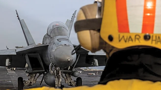
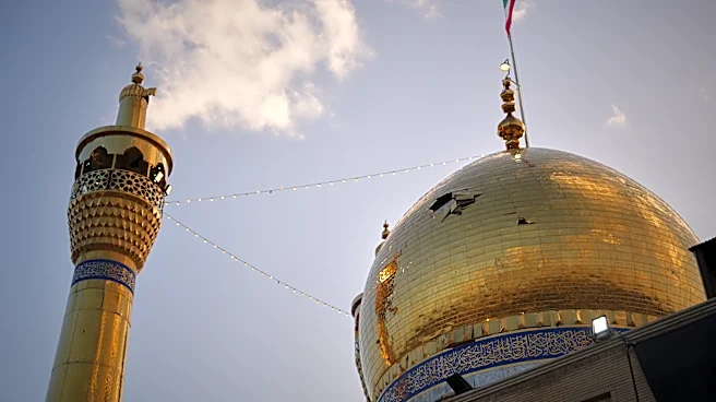
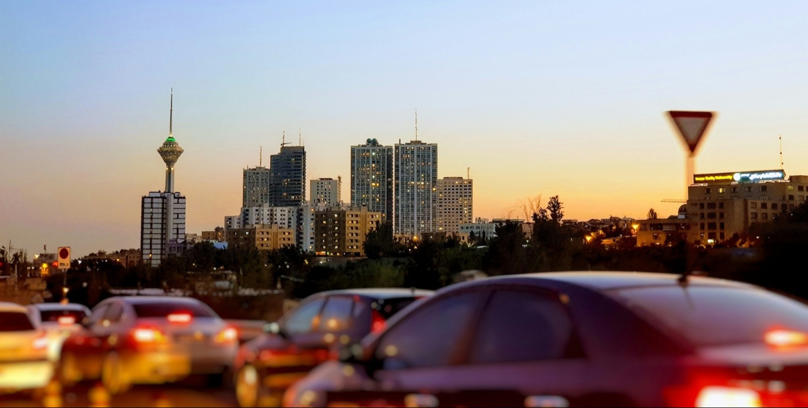
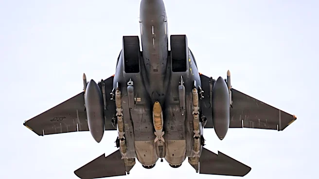
satellite imagery to target U.S. and allied forces. The policy extends a previous 14-day delay on releasing images and will remain until the conflict ends. The war began with U.S. and Israeli attacks on Iran, leading to retaliatory strikes by Tehran on U.S. bases in the Gulf region.
Why It's Important?
The withholding of satellite images highlights the strategic role of commercial satellite technology in modern warfare and intelligence. By restricting access to real-time imagery, the U.S. aims to limit adversaries' capabilities to plan and execute attacks. This move underscores the importance of satellite data in military operations and the potential risks of its misuse. The decision also reflects the broader geopolitical tensions in the Middle East, where control over information can significantly impact military and diplomatic strategies.
What's Next?
Planet Labs will implement a 'managed distribution of images' policy, releasing imagery on a case-by-case basis for urgent needs. This approach aims to balance security concerns with the needs of stakeholders, including governments and media. The ongoing conflict in the Middle East will likely continue to influence satellite imagery policies, as nations seek to protect sensitive information. The situation may prompt further discussions on the regulation and ethical use of commercial satellite data in conflict zones.